335 Worcester Road, Malvern, WR14 1AN
About 335 Worcester Road
335 Worcester Road is a two-bedroom semi-detached house in Malvern (WR14 1AN). It has a recorded floor area of 63 m² (around 678 sq ft), construction records dating it to before 1900 and council tax band B. The latest certificate (February 2015) shows an E (score 51), well below the UK norm with real room to improve. The recommended improvements would lift it to B (score 88), a 3-band jump. The latest certificate is from February 2015, so improvements made since then won't be reflected.
At 63 m² it sits well below the postcode median (108 m² across 6 EPCs), making it one of the more compact homes locally. Most recent transfer: January 2019 at £172,500. Across the public record there are 5 sales, relatively high churn for a single property. Across 1997–2019, sale prices on this property compounded at 5.6% per year. Today's modelled estimate of £226,000 is 31% above the 2019 sale price. On a £-per-square-foot basis, the last sale (£254/sq ft) was about 84.8% above the typical sold price in the postcode.
Know exactly what you're buying at 335 Worcester Road
Before you offer, see what the listing won't tell you, the true value, the red flags and the full history.
Already flagged here
Valuation
against the asking price
Risks
planning & flood
Sold prices
similar homes nearby
Trends
the local market
What this property has
Inside
- Bedrooms2
- Bathrooms1
Energy performance
Recommended upgrades on file would lift this property by multiple EPC bands.
EPC Expired
This certificate is over 10 years old and is no longer valid.Expired 03 Feb 2025
EPC Rating
Planning history
335 Worcester Road has no planning applications on record.
Notable planning nearby
4applications of note in the surrounding area
We flagged 1 thing worth checking at 335 Worcester Road
Independent checks surfaced things a buyer would want to understand before offering. The report explains each one in full, with the underlying data and what to ask.
- Larger development activity nearby
30-day money-back guarantee
Sales history & valuation
Sale price has grown by over 3x since 1997.
£226,000
Modelled from EPC, postcode comparables and a sale-price growth of 5.6% per year over 21 years.
£172,500
Growth on file: 5.6% per year over 21 years.
Sales timeline
28 January 2019Most recent
£172,500
+12.7%over 11 years1 March 2007
£153,000
+62.8%over 4 years1 August 2002
£94,000
+70.9%over 3 years15 July 1999
£55,000
+3.8%over 1 year31 July 1997
£53,000
Median price across the last 5 sales in WR14 1AN: £325,000 (2022–2017).
Nearby sales in WR14 1AN
Everything we know about 335 Worcester Road, in one report
What it's really worth, what could be wrong, and the planning, sales and area data in full.
What we flagged
- Larger development activity nearby

Versus other Worcester Road homes
Price per m² for 335 Worcester Road runs comfortably ahead of the street norm.
Price per m²
£2,738
Street avg £2,472
Floor Area
63 m²
Street avg 116 m²
Habitable Rooms
4 rooms
Street avg 6 rooms
CO₂ Emissions
4.5 t/year
Street avg 8.8 t/year
Similar properties nearby
1 Buckingham Close
WR14 1YA
1 Albion Road
WR14 1PU
1 Ashwin House, Howsell Road
WR14 1TF
1 Brackenhurst, Ranelagh Road
WR14 1EL
1 Boswell Court, Howsell Road
WR14 1TF
1 Aspen Court, Osborne Road
WR14 1JE
1 Balmoral Close
WR14 1YB
1 Albert Park Mews, Albert Park Road
WR14 1HN
The neighbourhood at a glance
Rail-style transport is unusually close for this postcode.
Crime
3/mo
Steady year-on-year across the wider district.
Nearest stop
0.0 km
Spring Lane — bus stop.
Closest school
0.6 km
St Matthias Church of England Primary School. 10 schools nearby.
Go deeper on the local area
The full report breaks down crime, transport links, schools and air quality in depth.
Road noise across the postcode
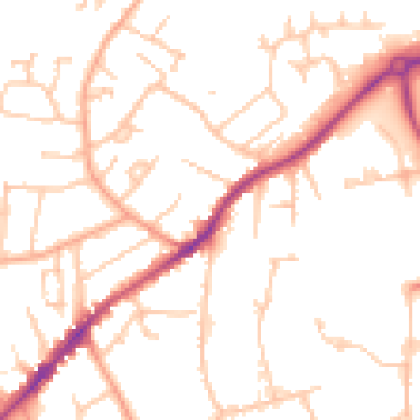
Daytime· 07:00 – 23:00
50.4dB

Night-time· 23:00 – 07:00
40.4dB