Flat 1, 178 Worcester Road, Malvern, WR14 1AG
About Flat 1
Flat 1 is a one-bedroom semi-detached house in Malvern (WR14 1AG). It has a recorded floor area of 41 m² (around 441 sq ft), construction records dating it to 1900-1929 and council tax band A. At 41 m² this is the 3rd smallest of 4 units on EPC record in the building, where floor areas span 36–52 m². The building's EPC ratings span E to C, with this unit at the top. On EPC score it ranks first in the building (73 versus a worst of 49). The latest certificate (February 2026) shows a C (score 73). When first surveyed in January 2016 the rating was D, the property has climbed 1 band since. Between certificates, wall efficiency went from Very Poor to Good and lighting went from Very Poor to Poor. This certificate was lodged in the last six months, so the rating reflects current condition.
Untraded for 20 years, with the last transfer in September 2006. Across 2000–2006, sale prices on this property compounded at 15.4% per year. Today's modelled estimate of £124,000 is 30.5% above the 2006 sale price. On a £-per-square-foot basis, the last sale (£215/sq ft) was about 15.3% above the typical sold price in the postcode. At 41 m² it's 21.2% smaller than the typical home in the postcode (52 m² median across 28 EPCs).
Know exactly what you're buying at Flat 1
Before you offer, see what the listing won't tell you, the true value, the red flags and the full history.
Already flagged here
Valuation
against the asking price
Risks
planning & flood
Sold prices
similar homes nearby
Trends
the local market
What this property has
Inside
- Bedrooms1
- Bathrooms1
- Dining roomYes
Outside
- ParkingOff road
Building
- RefurbishedYes
Energy performance
Flat 1's carbon output is low for the local stock.
EPC Rating
Property Improvements
Changes detected from historical EPC data
Heating controls upgraded for better temperature management
Single glazing replaced with double or better glazing
Wall insulation improved
Floor insulation added or improved
More low energy lighting installed
Planning history
Flat 1 has no planning applications on record.
Notable planning nearby
4applications of note in the surrounding area
We flagged 1 thing worth checking at Flat 1
Independent checks surfaced things a buyer would want to understand before offering. The report explains each one in full, with the underlying data and what to ask.
- Larger development activity nearby
30-day money-back guarantee
Sales history & valuation
Sale price has at least doubled since 2000.
£124,000
Modelled from EPC, postcode comparables and a sale-price growth of 15.4% per year over 6 years.
£95,000
Growth on file: 15.4% per year over 6 years.
Sales timeline
4 September 2006Most recent
£95,000
+58.3%over 4 years15 March 2002
£59,995
+42.8%over 1 year22 December 2000
£42,000
Median price across the last 5 sales in WR14 1AG: £135,000 (2023–2021).
Nearby sales in WR14 1AG
Flat 4, 178 Worcester Road, Malvern, WR14 1AG
Sold May 2023
£135,000Flat 2, 178 Worcester Road, Malvern, WR14 1AG
Sold Jun 2022
£87,000192 Worcester Road, Malvern, WR14 1AG
Sold Oct 2021
£186,000190 Worcester Road, Malvern, WR14 1AG
Sold Aug 2021
£225,000Flat 3, 178 Worcester Road, Malvern, WR14 1AG
Sold Mar 2021
£100,000
Everything we know about Flat 1, in one report
What it's really worth, what could be wrong, and the planning, sales and area data in full.
What we flagged
- Larger development activity nearby

Versus other Worcester Road homes
Flat 1 outperforms the street on co₂ emissions by a wide margin.
Price per m²
£2,317
Street avg £2,374
Floor Area
41 m²
Street avg 59 m²
Habitable Rooms
2 rooms
Street avg 3 rooms
CO₂ Emissions
1.0 t/year
Street avg 2.8 t/year
Similar properties nearby
Apartment 2, 170 Worcester Road
WR14 1AA
Ashgrove, Flat 13, 139 Worcester Road
WR14 1ET
Apartment 1, 170 Worcester Road
WR14 1AA
Ashgrove, Flat 12, 139 Worcester Road
WR14 1ET
Ashgrove, Flat 10, 139 Worcester Road
WR14 1ET
Ashgrove, Flat 14, 139 Worcester Road
WR14 1ET
Ashgrove, Flat 1, 139 Worcester Road
WR14 1ET
27a, Lower Apartment, Howsell Road
WR14 1TF
The neighbourhood at a glance
Rail-style transport is unusually close for this postcode.
Crime
3/mo
Steady year-on-year across the wider district.
Nearest stop
0.0 km
Lower Howsell Road — bus stop.
Closest school
0.5 km
St Matthias Church of England Primary School. 11 schools nearby.
Go deeper on the local area
The full report breaks down crime, transport links, schools and air quality in depth.
Road noise across the postcode
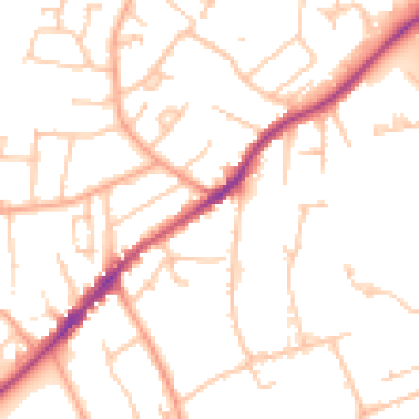
Daytime· 07:00 – 23:00
50.3dB

Night-time· 23:00 – 07:00
40.2dB