10 Bracken Close, Standish, Wigan, WN6 0GR
About 10 Bracken Close
10 Bracken Close is a property in Standish, Wigan, Wigan (WN6 0GR).
Last changed hands 9 years ago, in January 2017.
Everything you need to know about 10 Bracken Close
The true value, the hidden risks and the full sale history, in one report.
Pick your report · every report is £14.99
One time fee only - money back guarantee

The data behind every report


Energy performance
No EPC on record
This property doesn't have an Energy Performance Certificate yet. An EPC is required to sell or let — and unlocks our automated valuation.
Get a survey for this property
Level 2 HomeBuyer Report
We've checked 10 risk factors against the available data for this property and believe a Level 2 HomeBuyer Report could be a suitable option for you.
Planning history
10 Bracken Close has no planning applications on record.
But the area is active
2 notable applications nearby — larger schemes and conversions that could reshape the street. The report maps them all.
Sales history & valuation
£314,950
Recorded with HM Land Registry.
Sales timeline
19 January 2017Most recent
£314,950
Median price across the last 5 sales in WN6 0GR: £243,000 (2022–2020).
Nearby sales in WN6 0GR
4 Bracken Close, Standish, Wigan, WN6 0GR
Sold Jul 2022
£243,0002 Bracken Close, Standish, Wigan, WN6 0GR
Sold Jul 2022
£260,0003 Bracken Close, Standish, Wigan, WN6 0GR
Sold Aug 2021
£225,5005 Bracken Close, Standish, Wigan, WN6 0GR
Sold Jun 2021
£282,00011 Bracken Close, Standish, Wigan, WN6 0GR
Sold Nov 2020
£223,000
Everything you need to know about 10 Bracken Close
The true value, the hidden risks and the full sale history, in one report.
Pick your report · every report is £14.99
One time fee only - money back guarantee
The data behind every report
Similar properties nearby
1 Aldford Way, Standish
WN6 0TP
1 Artisan Close, Standish
WN6 0WF
1 Almond Pastures, Standish
WN6 0GG
1 Bradshaw Close, Standish
WN6 0RG
1 Bradley Close, Standish
WN6 0GL
1 Albatross Close, Standish
WN6 0WB
1 Bracken Close, Standish
WN6 0GR
1 Barbrook Close, Standish
WN6 0SX
The neighbourhood at a glance
Daytime road noise here sits well below conversation level — a quiet pocket of the postcode.
Crime
1/mo
Steady year-on-year across the wider district.
Nearest stop
0.1 km
The Owls — bus stop.
Closest school
0.5 km
Standish St Wilfrid's Church of England Primary Academy. 7 schools nearby.
Go deeper on the local area
A Local Area report breaks down crime, transport links, schools and air quality in depth.
Road noise across the postcode
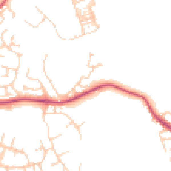
Daytime· 07:00 – 23:00
47.0dB

Night-time· 23:00 – 07:00
38.5dB