5 Greenoak Close, Abram, Wigan, WN2 5XN
About 5 Greenoak Close
5 Greenoak Close is a four-bedroom property in Abram, Wigan, Wigan (WN2 5XN). It has council tax band D. The latest certificate (December 2008) shows a C (score 80), near the top of the C band. The recommended improvements would push it to B (score 82). The latest certificate is from December 2008, so improvements made since then won't be reflected.
It hasn't traded since June 2009, a hold of 17 years that's notably long for the area. That sale fell during the post-crash dip, which often skews comparisons against later neighbouring sales. Today's modelled estimate of £180,000 is 28.6% above the 2009 sale price.
What this property has
Inside
- Bedrooms4
Everything you need to know about 5 Greenoak Close
The true value, the hidden risks and the full sale history, in one report.
Pick your report · every report is £14.99
One time fee only - money back guarantee

The data behind every report


Energy performance
5 Greenoak Close's EPC is over a decade old — improvements since won't be reflected.
EPC Expired
This certificate is over 10 years old and is no longer valid.Expired 03 Dec 2018
EPC Rating
Get a survey for this property
Level 2 HomeBuyer Report
We've checked 10 risk factors against the available data for this property and believe a Level 2 HomeBuyer Report could be a suitable option for you.
From £495 · Includes VAT
Planning history
5 Greenoak Close has no planning applications on record.
But the area is active
8 notable applications nearby — larger schemes and conversions that could reshape the street. The report maps them all.
Sales history & valuation
The latest sale fell during the post-2008 dip, often a low-water mark in price comparisons.
£180,000
Modelled from EPC, postcode comparables.
£139,995
Recorded with HM Land Registry.
Sales timeline
24 June 2009Most recent
£139,995
Median price across the last 5 sales in WN2 5XN: £150,000 (2025–2015).
Nearby sales in WN2 5XN
11 Greenoak Close, Abram, Wigan, WN2 5XN
Sold Mar 2025
£175,0001 Greenoak Close, Abram, Wigan, WN2 5XN
Sold Mar 2019
£150,00015 Greenoak Close, Abram, Wigan, WN2 5XN
Sold Nov 2018
£145,0003 Greenoak Close, Abram, Wigan, WN2 5XN
Sold Jul 2017
£150,0007 Greenoak Close, Abram, Wigan, WN2 5XN
Sold Oct 2009
£133,995
Versus other Greenoak Close homes
Floor Area for 5 Greenoak Close lags the street by a wide margin.
Years Held
17 years
Street avg 15 years
EPC Rating
80 (C)
Street avg 76 (C)
Floor Area
0 m²
Street avg 86 m²
CO₂ Emissions
2.2 t/year
Street avg 2.6 t/year
Everything you need to know about 5 Greenoak Close
The true value, the hidden risks and the full sale history, in one report.
Pick your report · every report is £14.99
One time fee only - money back guarantee
The data behind every report
Similar properties nearby
1 Ashwood Avenue, Abram
WN2 5YE
1 Coverdale Close, Platt Bridge
WN2 5EN
1 Byron Close, Abram
WN2 5PY
1 Ansford Avenue, Abram
WN2 5PQ
1 Croal Avenue, Platt Bridge
WN2 5EY
1 Crabtree Cottages, Lee Lane, Abram
WN2 5QS
1 Beech Grove, Abram
WN2 5YG
1 Brampton Close, Platt Bridge
WN2 5HS
The neighbourhood at a glance
Daytime road noise here sits well below conversation level — a quiet pocket of the postcode.
Nearest stop
0.1 km
Park Lane — bus stop.
Closest school
1.0 km
St John's Church of England Primary School, Abram. 7 schools nearby.
Go deeper on the local area
A Local Area report breaks down crime, transport links, schools and air quality in depth.
Road noise across the postcode
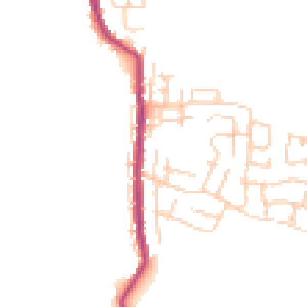
Daytime· 07:00 – 23:00
45.5dB

Night-time· 23:00 – 07:00
38.0dB