45 Gas Street, Platt Bridge, Wigan, WN2 5LS
About 45 Gas Street
45 Gas Street is a property in Platt Bridge, Wigan, Wigan (WN2 5LS). It has council tax band A.
Held since October 2007 — that's 19 years off the open market, well above the local norm. That sale landed at the peak of the pre-credit-crunch market, which is a useful reference point when interpreting the price. Across 2007–2007, sale prices on this property compounded at -6.8% per year.
Everything you need to know about 45 Gas Street
The true value, the hidden risks and the full sale history, in one report.
Pick your report · every report is £14.99
One time fee only - money back guarantee

The data behind every report


Energy performance
No EPC on record
This property doesn't have an Energy Performance Certificate yet. An EPC is required to sell or let — and unlocks our automated valuation.
Get a survey for this property
Level 2 HomeBuyer Report
We've checked 10 risk factors against the available data for this property and believe a Level 2 HomeBuyer Report could be a suitable option for you.
Planning history
45 Gas Street has no planning applications on record.
But the area is active
8 notable applications nearby — larger schemes and conversions that could reshape the street. The report maps them all.
Sales history & valuation
45 Gas Street changed hands twice within eighteen months — unusual for the area.
£89,000
Growth on file: -6.8% per year over 1 year.
Sales timeline
15 October 2007Most recent
£89,000
-6.8%12 July 2007
£95,500
Median price across the last 5 sales in WN2 5LS: £64,000 (2025–2024).
Nearby sales in WN2 5LS
51 Gas Street, Platt Bridge, Wigan, WN2 5LS
Sold Sept 2025
£64,00049 Gas Street, Platt Bridge, Wigan, WN2 5LS
Sold Sept 2025
£64,00033 Gas Street, Platt Bridge, Wigan, WN2 5LS
Sold May 2025
£47,00035 Gas Street, Platt Bridge, Wigan, WN2 5LS
Sold Oct 2024
£75,0001 Gas Street, Platt Bridge, Wigan, WN2 5LS
Sold Jul 2024
£45,000
Everything you need to know about 45 Gas Street
The true value, the hidden risks and the full sale history, in one report.
Pick your report · every report is £14.99
One time fee only - money back guarantee
The data behind every report
Similar properties nearby
1 Crystal Close, Platt Bridge
WN2 5BT
1 Brecon Close, Platt Bridge
WN2 5NA
1 Bank Street, Platt Bridge
WN2 5BW
1 Aspinall Street, Platt Bridge
WN2 5NR
1 Bickershaw Lane, Abram
WN2 5PL
1 Croal Avenue, Platt Bridge
WN2 5EY
1 Beech Tree Houses, Bamfurlong
WN2 5LB
1 Crown Wood Court, Bamfurlong
WN2 5LY
The neighbourhood at a glance
Nearest stop
0.1 km
Gas Street — bus stop.
Closest school
0.2 km
Platt Bridge Community School. 15 schools nearby.
Go deeper on the local area
A Local Area report breaks down crime, transport links, schools and air quality in depth.
Road noise across the postcode
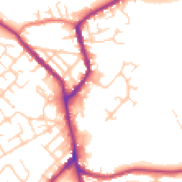
Daytime· 07:00 – 23:00
52.0dB

Night-time· 23:00 – 07:00
43.1dB