7 Furlong Close, Bamfurlong, Wigan, WN2 5LH
About 7 Furlong Close
7 Furlong Close is a semi-detached house in Bamfurlong, Wigan, Wigan (WN2 5LH). It has a recorded floor area of 58 m² (around 622 sq ft) and council tax band A. The latest certificate (November 2009) shows an E (score 52), well below the UK norm with real room to improve. The recommended improvements would lift it to C (score 74), a 2-band jump. The latest certificate is from November 2009, so improvements made since then won't be reflected.
Untraded for 16 years, with the last transfer in May 2010. Today's modelled estimate of £143,000 sits 58.9% above the 2010 sale of £90,000. One planning record on file: an extension approved in 2015. Past consents include an extension, meaningful when judging how the property has evolved.
Everything you need to know about 7 Furlong Close
The true value, the hidden risks and the full sale history, in one report.
Pick your report · every report is £14.99
One time fee only - money back guarantee

The data behind every report


Energy performance
Recommended upgrades on file would lift this property by multiple EPC bands.
EPC Expired
This certificate is over 10 years old and is no longer valid.Expired 02 Nov 2019
EPC Rating
Get a survey for this property
Level 2 HomeBuyer Report
We've checked 10 risk factors against the available data for this property and believe a Level 2 HomeBuyer Report could be a suitable option for you.
From £495 · Includes VAT
Planning history
7 Furlong Close has an approved extension on the planning record.
1 application on record at 7 Furlong Close, Bamfurlong, Wigan, WN2 5LH
- Nov 2015ExtensionFullOutcome in report
To extend dwellinghouse - front and rear dormers
- Documents
- 6 docs on file
- Reference
- A/15/81444/HH
Unlock 7 Furlong Close, Bamfurlong, Wigan, WN2 5LH's full planning history
You're seeing the shape of it. The report has the substance.
- Every decision — granted, refused or withdrawn (1 on record)
- All 1 application on this property in full, plus 8 notable nearby
- The 6 documents, officer reports & conditions
- What the pattern means for extending or converting here
One time fee only - money back guarantee
Sales history & valuation
£143,000
Modelled from EPC, postcode comparables.
£90,000
Recorded with HM Land Registry.
Sales timeline
6 May 2010Most recent
£90,000
Median price across the last 3 sales in WN2 5LH: £47,500 (2002–1995).
Everything you need to know about 7 Furlong Close
The true value, the hidden risks and the full sale history, in one report.
Pick your report · every report is £14.99
One time fee only - money back guarantee
The data behind every report
Similar properties nearby
1 Crown Wood Court, Bamfurlong
WN2 5LY
1 Beech Tree Houses, Bamfurlong
WN2 5LB
1 Bickershaw Lane, Abram
WN2 5PL
1 Croal Avenue, Platt Bridge
WN2 5EY
1 Ashwood Avenue, Abram
WN2 5YE
1 Aspinall Street, Platt Bridge
WN2 5NR
1 Brown Street, Bickershaw
WN2 5TT
1 Chapel Street, Platt Bridge
WN2 5EB
The neighbourhood at a glance
Daytime road noise here sits well below conversation level — a quiet pocket of the postcode.
Nearest stop
0.1 km
Landgate School — bus stop.
Closest school
1.1 km
Holy Family Catholic Academy. 10 schools nearby.
Go deeper on the local area
A Local Area report breaks down crime, transport links, schools and air quality in depth.
Road noise across the postcode
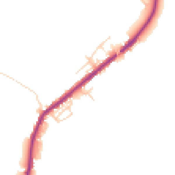
Daytime· 07:00 – 23:00
45.2dB

Night-time· 23:00 – 07:00
39.0dB