18 All Saints Grove, Hindley, Wigan, WN2 3QT
About 18 All Saints Grove
18 All Saints Grove is a semi-detached house in Hindley, Wigan, Wigan (WN2 3QT). It has a recorded floor area of 69 m² (around 743 sq ft), construction records dating it to 1950-1966 and council tax band A. The latest certificate (October 2017) shows a C (score 72). The recommended improvements would push it to B (score 89).
Everything you need to know about 18 All Saints Grove
The true value, the hidden risks and the full sale history, in one report.
Pick your report · every report is £14.99
One time fee only - money back guarantee

The data behind every report


Energy performance
EPC Rating
Get a survey for this property
Level 2 HomeBuyer Report
We've checked 10 risk factors against the available data for this property and believe a Level 2 HomeBuyer Report could be a suitable option for you.
From £495 · Includes VAT
Planning history
18 All Saints Grove has no planning applications on record.
But the area is active
4 notable applications nearby — larger schemes and conversions that could reshape the street. The report maps them all.
Sales history & valuation
18 All Saints Grove has no Land Registry sales on file, suggesting it has stayed in the same hands since registration began.
£144,000
Modelled from EPC, postcode comparables.
No sales recorded with HM Land Registry
That can mean the property has never traded since the registry began publishing in 1995, was a new build that hasn't been registered yet, or is held in the same hands long-term.
Median price across the last 5 sales in WN2 3QT: £108,000 (2025–2011).
Nearby sales in WN2 3QT
6 All Saints Grove, Hindley, Wigan, WN2 3QT
Sold Oct 2025
£143,00014 All Saints Grove, Hindley, Wigan, WN2 3QT
Sold Apr 2024
£120,0003 All Saints Grove, Hindley, Wigan, WN2 3QT
Sold Jun 2023
£108,00020 All Saints Grove, Hindley, Wigan, WN2 3QT
Sold May 2012
£55,0001 All Saints Grove, Hindley, Wigan, WN2 3QT
Sold Dec 2002
£39,995
Versus other All Saints Grove homes
On floor area, 18 All Saints Grove runs well behind the street norm.
EPC Rating
72 (C)
Street avg 69 (C)
Floor Area
69 m²
Street avg 72 m²
CO₂ Emissions
2.4 t/year
Street avg 2.7 t/year
Habitable Rooms
3 rooms
Street avg 4 rooms
Everything you need to know about 18 All Saints Grove
The true value, the hidden risks and the full sale history, in one report.
Pick your report · every report is £14.99
One time fee only - money back guarantee
The data behind every report
Similar properties nearby
1 Arthur Street, Hindley
WN2 3PJ
1 Byron Avenue, Hindley
WN2 3HF
1 Carr Street, Hindley
WN2 3LG
1 Back Market Street, Hindley
WN2 3FU
1 Beaufort Street, Hindley
WN2 3EH
1 Brookview, Hindley
WN2 3DZ
1 Bolderwood Drive, Hindley
WN2 3JF
1 Cadman Grove, Hindley
WN2 3JG
The neighbourhood at a glance
Nearest stop
0.2 km
Exeter Road — bus stop.
Closest school
0.1 km
Hindley All Saints CofE Primary School. 19 schools nearby.
Go deeper on the local area
A Local Area report breaks down crime, transport links, schools and air quality in depth.
Road noise across the postcode
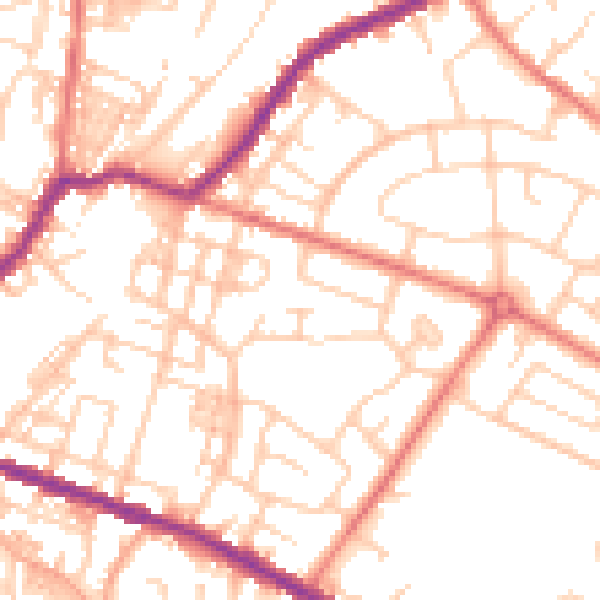
Daytime· 07:00 – 23:00
52.6dB

Night-time· 23:00 – 07:00
41.2dB