1 Bankfield Court, Wrenthorpe, Wakefield, WF2 0TA
About 1 Bankfield Court
1 Bankfield Court is a detached house in Wrenthorpe, Wakefield, Wakefield (WF2 0TA). It has a recorded floor area of 130 m² (around 1399 sq ft), construction records dating it to 1983-1990 and council tax band E. The latest certificate (October 2025) shows a C (score 72).
At 130 m² it's 25% larger than the typical home in the postcode (104 m² median across 3 EPCs).
Everything you need to know about 1 Bankfield Court
The true value, the hidden risks and the full sale history, in one report.
Pick your report · every report is £14.99
One time fee only - money back guarantee

The data behind every report


Energy performance
EPC Rating
Get a survey for this property
Level 3 Building Survey
Because the property has been extended more than once, we believe a Level 3 building survey should be considered.
From £955 · Includes VAT
Planning history
1 Bankfield Court has no planning applications on record.
But the area is active
5 notable applications nearby — larger schemes and conversions that could reshape the street. The report maps them all.
Sales history & valuation
1 Bankfield Court has no Land Registry sales on file, suggesting it has stayed in the same hands since registration began.
£391,000
Modelled from EPC, postcode comparables.
No sales recorded with HM Land Registry
That can mean the property has never traded since the registry began publishing in 1995, was a new build that hasn't been registered yet, or is held in the same hands long-term.
Median price across the last 3 sales in WF2 0TA: £260,000 (2019–2009).
Versus other Bankfield Court homes
EPC Rating for 1 Bankfield Court runs comfortably ahead of the street norm.
EPC Rating
72 (C)
Street avg 66 (D)
Floor Area
130 m²
Street avg 100 m²
CO₂ Emissions
3.6 t/year
Street avg 4.1 t/year
Habitable Rooms
6 rooms
Street avg 6 rooms
Everything you need to know about 1 Bankfield Court
The true value, the hidden risks and the full sale history, in one report.
Pick your report · every report is £14.99
One time fee only - money back guarantee
The data behind every report
Similar properties nearby
1 Bankfield Drive, Wrenthorpe
WF2 0TB
1 Batley Road
WF2 0AA
1 Batley Road, Wrenthorpe
WF2 0PG
1 Carr Gate Mount, Carr Gate
WF2 0QP
1 Appleshawn Crescent, Wrenthorpe
WF2 0QJ
1 Bunkers Hill, Wrenthorpe
WF2 0JF
1 Bowling Lane, Wrenthorpe
WF2 0JT
1 Carr Gate Drive, Carr Gate
WF2 0QS
The neighbourhood at a glance
Reported crime in the wider district is trending notably upward year-on-year.
Crime
7/mo
Rising year-on-year across the wider district.
Nearest stop
0.1 km
Bradford Rd Appleshawn Crescent — bus stop.
Closest school
0.4 km
Wrenthorpe Academy. 17 schools nearby.
Go deeper on the local area
A Local Area report breaks down crime, transport links, schools and air quality in depth.
Road noise across the postcode
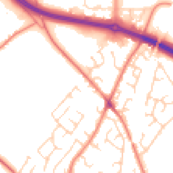
Daytime· 07:00 – 23:00
52.2dB

Night-time· 23:00 – 07:00
41.2dB