26 Cornmill Lane, Liversedge, WF15 7DT
About 26 Cornmill Lane
26 Cornmill Lane is a five-bedroom semi-detached house in Liversedge (WF15 7DT). It has a recorded floor area of 136 m² (around 1464 sq ft), construction records dating it to 1930-1949 and council tax band C. The latest certificate (March 2018) shows a D (score 64), on the cusp of jumping into the C band. The recommended improvements would push it to C (score 77).
At 136 m² the property is well over the postcode median (98 m² across 7 EPCs), placing it in the larger end of the local stock. 5 bedrooms is on the larger side for this postcode, where 3 is the typical count. Today's modelled estimate of £407,000 sits 58.1% above the 2018 sale of £257,500. On a £-per-square-foot basis, the last sale (£176/sq ft) was about 15.9% above the typical sold price in the postcode. Sold July 2018 for £257,500. One historical planning record sits against the property in 2004.
Know exactly what you're buying at 26 Cornmill Lane
Before you offer, see what the listing won't tell you, the true value, the red flags and the full history.
Launch offer · save £5
Valuation
against the asking price
Risks
planning & flood
Sold prices
similar homes nearby
Trends
the local market
What this property has
Inside
- Bedrooms5
- Bathrooms2
- Dining roomYes
- Utility roomYes
- CloakroomYes
- EnsuiteYes
Outside
- Private gardenrear
- Garagedouble, integral
Energy performance
EPC Rating
Planning history
Council records include a two-storey extension at 26 Cornmill Lane.
- Oct 2004ExtensionFullIn report
Extension: Two storey
ERECTION OF TWO STOREY EXTENSION
- Documents
- 1 doc on file
- Reference
- 2004/93830
What's in 26 Cornmill Lane, Liversedge, WF15 7DT's planning history?
Refusals, disputes and full decisions on this property and nearby, in the report.
Sales history & valuation
26 Cornmill Lane valuation sits well clear of the typical sold price in this postcode.
£407,000
Modelled from EPC, postcode comparables.
£257,500
Recorded with HM Land Registry.
Sales timeline
26 July 2018Most recent
£257,500
Median price across the last 5 sales in WF15 7DT: £220,000 (2021–2007).
Nearby sales in WF15 7DT
Everything we know about 26 Cornmill Lane, in one report
What it's really worth, what could be wrong, and the planning, sales and area data in full.
- Am I paying too much?
- Is something wrong with it?
- Is the agent's story true?
- Will it hold its value?

Versus other Cornmill Lane homes
On habitable rooms, 26 Cornmill Lane stands well clear of the street.
Price per m²
£1,893
Street avg £1,725
Floor Area
136 m²
Street avg 108 m²
Habitable Rooms
8 rooms
Street avg 5 rooms
CO₂ Emissions
5.8 t/year
Street avg 4.5 t/year
Similar properties nearby
The neighbourhood at a glance
Crime
3/mo
Steady year-on-year across the wider district.
Nearest stop
0.3 km
Norristhorpe Lane Owlet Hurst Ln — bus stop.
Closest school
0.5 km
Norristhorpe Junior and Infant School. 27 schools nearby.
Go deeper on the local area
The full report breaks down crime, transport links, schools and air quality in depth.
Road noise across the postcode
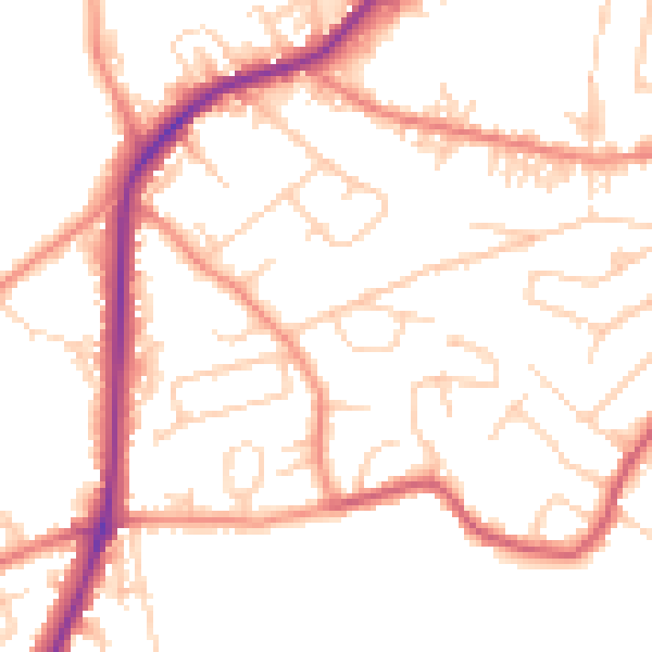
Daytime· 07:00 – 23:00
50.8dB

Night-time· 23:00 – 07:00
41.1dB