1 Brearley Gardens, Liversedge, WF15 7SZ
About 1 Brearley Gardens
1 Brearley Gardens is a three-bedroom detached house in Liversedge (WF15 7SZ). It has a recorded floor area of 181 m² (around 1945 sq ft) and construction records dating it to 1996-2002. The latest certificate (March 2009) shows a D (score 65), on the cusp of jumping into the C band. The recommended improvements would push it to C (score 70). The latest certificate is from March 2009, so improvements made since then won't be reflected.
It hasn't traded since June 2000, a hold of 26 years that's notably long for the area. Only one transfer is on record with HM Land Registry, suggesting it has stayed in the same hands for a long time. Today's modelled estimate of £545,000 sits 253.9% above the 2000 sale of £154,000. On a £-per-square-foot basis, the last sale (£79/sq ft) was about 41.7% below the postcode norm.
Know exactly what you're buying at 1 Brearley Gardens
Before you offer, see what the listing won't tell you, the true value, the red flags and the full history.
Launch offer · save £5
Valuation
against the asking price
Risks
planning & flood
Sold prices
similar homes nearby
Trends
the local market
What this property has
Inside
- Bedrooms3
Energy performance
1 Brearley Gardens's carbon output runs well above what efficient homes in the postcode produce.
EPC Expired
This certificate is over 10 years old and is no longer valid.Expired 02 Mar 2019
EPC Rating
Planning history
1 Brearley Gardens has no planning applications on record.
The full report still covers planning activity across the surrounding area.
Sales history & valuation
1 Brearley Gardens's estimated value is more than triple its earliest registered sale price (2000).
£545,000
Modelled from EPC, postcode comparables.
£154,000
Recorded with HM Land Registry.
Sales timeline
6 June 2000Most recent
£154,000
Median price across the last 3 sales in WF15 7SZ: £250,000 (2014–1999).
Everything we know about 1 Brearley Gardens, in one report
What it's really worth, what could be wrong, and the planning, sales and area data in full.
- Am I paying too much?
- Is something wrong with it?
- Is the agent's story true?
- Will it hold its value?

Similar properties nearby
The neighbourhood at a glance
Crime
3/mo
Steady year-on-year across the wider district.
Nearest stop
0.1 km
Union Road — bus stop.
Closest school
0.4 km
Spen Valley High School. 25 schools nearby.
Go deeper on the local area
The full report breaks down crime, transport links, schools and air quality in depth.
Road noise across the postcode
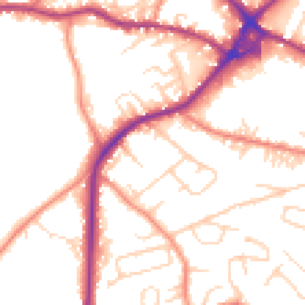
Daytime· 07:00 – 23:00
51.8dB
Night-time· 23:00 – 07:00
42.3dB