26 Forge Lane, Liversedge, WF15 7AU
About 26 Forge Lane
26 Forge Lane is an end-of-terrace house in Liversedge (WF15 7AU). It has a recorded floor area of 60 m² (around 646 sq ft), construction records dating it to 1976-1982 and council tax band A. The latest certificate (January 2019) shows a D (score 65), on the cusp of jumping into the C band. The recommended improvements would lift it to B (score 86), a 2-band jump.
Today's modelled estimate of £168,000 is 35.5% above the 2019 sale price. On a £-per-square-foot basis, the last sale (£192/sq ft) was about 43.7% above the typical sold price in the postcode. At 60 m² it's 18.3% smaller than the typical home in the postcode (73 m² median across 18 EPCs). Last sale on file: £124,000 in March 2019.
Know exactly what you're buying at 26 Forge Lane
Before you offer, see what the listing won't tell you, the true value, the red flags and the full history.
Launch offer · save £5
Valuation
against the asking price
Risks
planning & flood
Sold prices
similar homes nearby
Trends
the local market
Energy performance
Recommended upgrades on file would lift this property by multiple EPC bands.
EPC Rating
Planning history
26 Forge Lane has no planning applications on record.
The full report still covers planning activity across the surrounding area.
Sales history & valuation
26 Forge Lane valuation sits well clear of the typical sold price in this postcode.
£168,000
Modelled from EPC, postcode comparables.
£124,000
Recorded with HM Land Registry.
Sales timeline
8 March 2019Most recent
£124,000
Median price across the last 5 sales in WF15 7AU: £185,000 (2023–2019).
Nearby sales in WF15 7AU
Everything we know about 26 Forge Lane, in one report
What it's really worth, what could be wrong, and the planning, sales and area data in full.
- Am I paying too much?
- Is something wrong with it?
- Is the agent's story true?
- Will it hold its value?

Versus other Forge Lane homes
On habitable rooms, 26 Forge Lane runs well behind the street norm.
Price per m²
£2,067
Street avg £1,622
Floor Area
60 m²
Street avg 86 m²
Habitable Rooms
3 rooms
Street avg 5 rooms
CO₂ Emissions
2.9 t/year
Street avg 3.7 t/year
Similar properties nearby
The neighbourhood at a glance
Daytime road noise here sits well below conversation level — a quiet pocket of the postcode.
Crime
3/mo
Steady year-on-year across the wider district.
Nearest stop
0.1 km
Norristhorpe Ln Spring Bank Drive — bus stop.
Closest school
0.2 km
Norristhorpe Junior and Infant School. 31 schools nearby.
Go deeper on the local area
The full report breaks down crime, transport links, schools and air quality in depth.
Road noise across the postcode
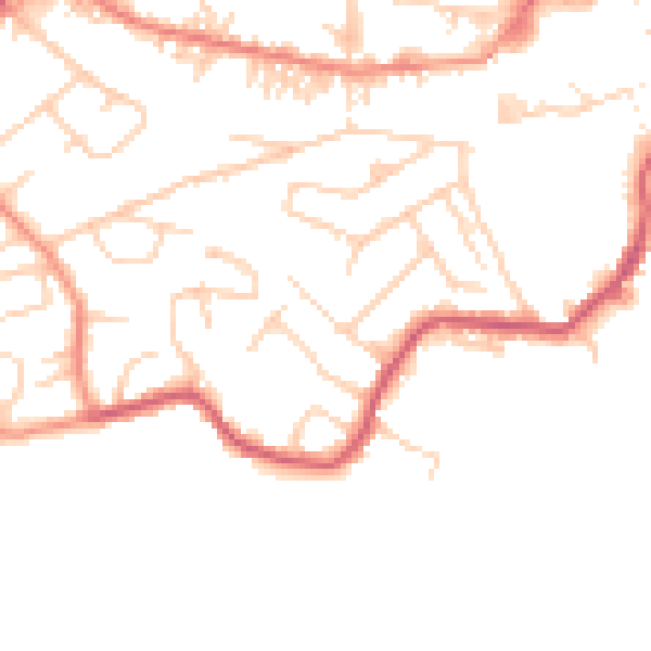
Daytime· 07:00 – 23:00
47.8dB

Night-time· 23:00 – 07:00
38.7dB