4 Arnett Close, Rickmansworth, WD3 4DB
About 4 Arnett Close
4 Arnett Close is a four-bedroom detached house in Rickmansworth (WD3 4DB). It has a recorded floor area of 85 m² (around 915 sq ft), construction records dating it to 1967-1975 and council tax band F. The latest certificate (November 2021) shows a D (score 68), on the cusp of jumping into the C band. The recommended improvements would lift it to B (score 84), a 2-band jump. Other recorded features include a conservatory.
At 85 m² it sits well below the postcode median (137 m² across 7 EPCs), making it one of the more compact homes locally. One planning record on file: an extension approved in 2022. Past consents include an extension, meaningful when judging how the property has evolved. Today's modelled estimate of £824,000 is 13.7% above the 2022 sale price. On a £-per-square-foot basis, the last sale (£792/sq ft) was about 190.8% above the typical sold price in the postcode. Most recent transfer: April 2022 at £725,000. That sale was during the post-pandemic price surge, when transactions cleared materially above pre-2020 trend.
Know exactly what you're buying at 4 Arnett Close
Before you offer, see what the listing won't tell you, the true value, the red flags and the full history.
Valuation
against the asking price
Risks
planning & flood
Sold prices
similar homes nearby
Trends
the local market
What this property has
Inside
- Bedrooms4
- Bathrooms1
- CloakroomYes
- EnsuiteYes
- ConservatoryYes
Outside
- Private gardenRear
- GarageIntegral
Energy performance
Recommended upgrades on file would lift this property by multiple EPC bands.
EPC Rating
Planning history
- May 2022ExtensionFullIn report
Demolition of existing garage, erection of single storey front, side and rear extensions, two storey rear extension, alterations to fenestration and external materials and internal alterations
- Documents
- 16 docs on file
- Reference
- 22/0536/FUL
What's in 4 Arnett Close, Rickmansworth, WD3 4DB's planning history?
Refusals, disputes and full decisions on this property and nearby, in the report.
Sales history & valuation
The latest sale landed in the post-pandemic price surge — useful context when reading the figure.
£824,000
Modelled from EPC, postcode comparables.
£725,000
Recorded with HM Land Registry.
Sales timeline
12 April 2022Most recent
£725,000
Median price across the last 5 sales in WD3 4DB: £550,000 (2022–2005).
Nearby sales in WD3 4DB
Everything we know about 4 Arnett Close, in one report
What it's really worth, what could be wrong, and the planning, sales and area data in full.
- Am I paying too much?
- Is something wrong with it?
- Is the agent's story true?
- Will it hold its value?

Versus other Arnett Close homes
4 Arnett Close outperforms the street on price per m² by a wide margin.
Price per m²
£8,529
Street avg £3,571
Floor Area
85 m²
Street avg 137 m²
Habitable Rooms
6 rooms
Street avg 7 rooms
CO₂ Emissions
3.3 t/year
Street avg 6.0 t/year
Similar properties nearby
1 Arnett Close
WD3 4DB
1 Copthorne Road, Croxley Green
WD3 4AB
1 Chestnut Avenue
WD3 4HA
1 Greenhills Close
WD3 4BW
1 Loudwater House, Loudwater Drive, Loudwater
WD3 4HN
1 Milthorne Close, Croxley Green
WD3 4AG
1 Spencer Walk
WD3 4EE
1 Lower Plantation, Loudwater
WD3 4PQ
The neighbourhood at a glance
Crime
8/mo
Steady year-on-year across the wider district.
Nearest stop
0.2 km
Arnett Hills School — bus stop.
Closest school
0.2 km
Arnett Hills Junior Mixed and Infant School. 15 schools nearby.
Go deeper on the local area
The full report breaks down crime, transport links, schools and air quality in depth.
Road noise across the postcode
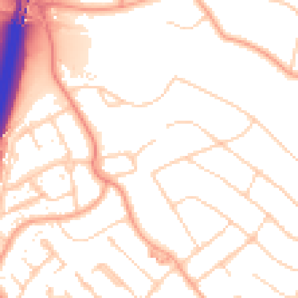
Daytime· 07:00 – 23:00
51.9dB

Night-time· 23:00 – 07:00
42.6dB