111a, North Western Avenue, Watford, WD25 0AQ
About 111a
111a is a semi-detached house in Watford (WD25 0AQ). It has a recorded floor area of 88 m² (around 947 sq ft), construction records dating it to 1930-1949 and council tax band B. The latest certificate (January 2015) shows an E (score 50), well below the UK norm with real room to improve. The recommended improvements would lift it to C (score 76), a 2-band jump. The latest certificate is from January 2015, so improvements made since then won't be reflected.
At 88 m² it's 23.9% larger than the typical home in the postcode (71 m² median across 21 EPCs). Across 2019–2024, sale prices on this property compounded at 5.8% per year. Today's modelled estimate of £289,000 is 15.6% above the 2024 sale price. On a £-per-square-foot basis, the last sale (£264/sq ft) was about 16.7% above the typical sold price in the postcode. Last sale on file: £250,000 in May 2024.
Everything you need to know about 111a
The true value, the hidden risks and the full sale history, in one report.
30-day money-back guarantee

The data behind every report


Energy performance
Recommended upgrades on file would lift this property by multiple EPC bands.
EPC Expired
This certificate is over 10 years old and is no longer valid.Expired 21 Jan 2025
EPC Rating
Planning history
111a has no planning applications on record.
Notable planning nearby
2applications of note in the surrounding area
Sales history & valuation
111a valuation sits well clear of the typical sold price in this postcode.
£289,000
Modelled from EPC, postcode comparables and a sale-price growth of 5.8% per year over 5 years.
£250,000
Growth on file: 5.8% per year over 5 years.
Sales timeline
16 May 2024Most recent
£250,000
+34.8%over 5 years6 February 2019
£185,500
Median price across the last 5 sales in WD25 0AQ: £400,000 (2025–2021).
Nearby sales in WD25 0AQ
129 North Western Avenue, Watford, WD25 0AQ
Sold Mar 2025
£285,000111 North Western Avenue, Watford, WD25 0AQ
Sold May 2024
£227,000135 North Western Avenue, Watford, WD25 0AQ
Sold May 2022
£440,700137 North Western Avenue, Watford, WD25 0AQ
Sold Sept 2021
£460,000163 North Western Avenue, Watford, WD25 0AQ
Sold Jun 2021
£400,000
Versus other North Western Avenue homes
On floor area, 111a stands well clear of the street.
Price per m²
£2,841
Street avg £3,395
Floor Area
88 m²
Street avg 50 m²
Habitable Rooms
2 rooms
Street avg 2 rooms
CO₂ Emissions
5.8 t/year
Street avg 3.3 t/year
Everything you need to know about 111a
The true value, the hidden risks and the full sale history, in one report.
30-day money-back guarantee
The data behind every report
Similar properties nearby
The neighbourhood at a glance
Crime
4/mo
Steady year-on-year across the wider district.
Nearest stop
0.4 km
Library — bus stop.
Closest school
0.3 km
Cherry Tree Primary School. 29 schools nearby.
Go deeper on the local area
The full report breaks down crime, transport links, schools and air quality in depth.
Road noise across the postcode
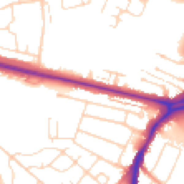
Daytime· 07:00 – 23:00
51.3dB

Night-time· 23:00 – 07:00
42.1dB