Midsummer Lodge, 5, 22 Sheepcot Lane, Watford, WD25 0AF
About Midsummer Lodge
Midsummer Lodge is an end-of-terrace house in Watford (WD25 0AF). It has a recorded floor area of 54 m² (around 582 sq ft) and council tax band D. The latest certificate (January 2009) returns a B (score 82), comfortably above the UK average. The latest certificate is from January 2009, so improvements made since then won't be reflected. At 54 m² this is the 2nd smallest of 14 units on EPC record in Midsummer Lodge, where floor areas span 54–63 m². The building's EPC ratings span C to B, with this unit at the top.
Everything you need to know about Midsummer Lodge
The true value, the hidden risks and the full sale history, in one report.
30-day money-back guarantee

The data behind every report


Energy performance
Midsummer Lodge's carbon output is low for the local stock.
EPC Expired
This certificate is over 10 years old and is no longer valid.Expired 16 Jan 2019
EPC Rating
Planning history
Midsummer Lodge has no planning applications on record.
Notable planning nearby
2applications of note in the surrounding area
Sales history & valuation
Midsummer Lodge has no Land Registry sales on file, suggesting it has stayed in the same hands since registration began.
£267,000
Modelled from EPC, postcode comparables.
No sales recorded with HM Land Registry
That can mean the property has never traded since the registry began publishing in 1995, was a new build that hasn't been registered yet, or is held in the same hands long-term.
Median price across the last 5 sales in WD25 0AF: £287,000 (2022–2015).
Nearby sales in WD25 0AF
Midsummer Lodge, 11, 22 Sheepcot Lane, Watford, WD25 0AF
Sold Nov 2022
£292,000Midsummer Lodge, 6, 22 Sheepcot Lane, Watford, WD25 0AF
Sold Oct 2018
£268,000Midsummer Lodge, 4, 22 Sheepcot Lane, Watford, WD25 0AF
Sold Feb 2018
£315,000Midsummer Lodge, 13, 22 Sheepcot Lane, Watford, WD25 0AF
Sold Aug 2017
£287,000Midsummer Lodge, 7, 22 Sheepcot Lane, Watford, WD25 0AF
Sold Nov 2014
£249,950
Versus other Sheepcot Lane homes
Floor Area for Midsummer Lodge lags the street by a wide margin.
EPC Rating
82 (B)
Street avg 81 (B)
Floor Area
54 m²
Street avg 58 m²
CO₂ Emissions
1.4 t/year
Street avg 1.3 t/year
Everything you need to know about Midsummer Lodge
The true value, the hidden risks and the full sale history, in one report.
30-day money-back guarantee
The data behind every report
Similar properties nearby
The neighbourhood at a glance
Rail-style transport is unusually close for this postcode.
Crime
4/mo
Steady year-on-year across the wider district.
Nearest stop
0.1 km
St Albans Road — bus stop.
Closest school
0.6 km
The Grove Academy. 23 schools nearby.
Go deeper on the local area
The full report breaks down crime, transport links, schools and air quality in depth.
Road noise across the postcode
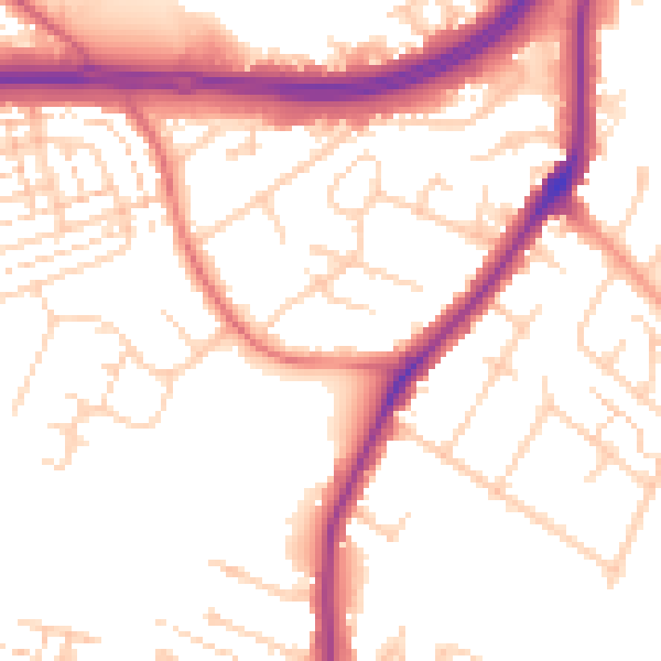
Daytime· 07:00 – 23:00
53.3dB

Night-time· 23:00 – 07:00
45.1dB