11b, Cowper Court, Watford, WD24 6NW
About 11b
11b is an end-of-terrace house in Watford (WD24 6NW). It has a recorded floor area of 51 m² (around 549 sq ft), construction records dating it to 2007-2011 and council tax band C. The latest certificate (September 2021) shows a C (score 76), near the top of the C band. Earlier certificates rated it B (October 2009); the latest reading is one band lower. Between certificates, hot-water efficiency dropped from Very Good to Good and main heating dropped from Very Good to Good. The recommended improvements would push it to B (score 91).
At 51 m² it sits well below the postcode median (89 m² across 8 EPCs), making it one of the more compact homes locally. Its energy rating outperforms most of the postcode (better than 75% of similar EPCs).
Everything you need to know about 11b
The true value, the hidden risks and the full sale history, in one report.
30-day money-back guarantee

The data behind every report


Energy performance
11b's carbon output is low for the local stock.
EPC Rating
Property Improvements
Changes detected from historical EPC data
Hot water efficiency decreased
Wall insulation upgraded
Floor insulation added or improved
More low energy lighting installed
Planning history
11b has no planning applications on record.
Notable planning nearby
4applications of note in the surrounding area
We flagged 1 thing worth checking at 11b
Independent checks surfaced things a buyer would want to understand before offering. The report explains each one in full, with the underlying data and what to ask.
- Signs of HMO activity in the area
30-day money-back guarantee
Sales history & valuation
11b has no Land Registry sales on file, suggesting it has stayed in the same hands since registration began.
£299,000
Modelled from EPC, postcode comparables.
No sales recorded with HM Land Registry
That can mean the property has never traded since the registry began publishing in 1995, was a new build that hasn't been registered yet, or is held in the same hands long-term.
Median price across the last 2 sales in WD24 6NW: £179,500 (2007–2000).
Nearby sales in WD24 6NW
Versus other Cowper Court homes
11b outperforms the street on epc rating by a wide margin.
EPC Rating
76 (C)
Street avg 54 (E)
Floor Area
51 m²
Street avg 92 m²
CO₂ Emissions
1.5 t/year
Street avg 4.9 t/year
Habitable Rooms
2 rooms
Street avg 5 rooms
Everything you need to know about 11b
The true value, the hidden risks and the full sale history, in one report.
30-day money-back guarantee
The data behind every report
Similar properties nearby
The neighbourhood at a glance
Reported crime in the wider district is trending notably upward year-on-year.
Crime
4/mo
Rising year-on-year across the wider district.
Nearest stop
0.1 km
Callowland Recreation Ground — bus stop.
Closest school
0.2 km
Beechfield School. 31 schools nearby.
Go deeper on the local area
The full report breaks down crime, transport links, schools and air quality in depth.
Road noise across the postcode
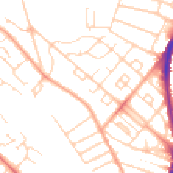
Daytime· 07:00 – 23:00
49.9dB

Night-time· 23:00 – 07:00
39.2dB