20 Gladesmere Court, Watford, WD24 6LX
About 20 Gladesmere Court
20 Gladesmere Court is an end-of-terrace house in Watford (WD24 6LX). It has a recorded floor area of 48 m² (around 517 sq ft), construction records dating it to 1991-1995 and council tax band C. At 48 m² this is the 20th smallest of 26 units on EPC record in the building, where floor areas span 38–57 m². The building's EPC ratings span D to B across 26 units on file. The latest certificate (May 2018) shows a C (score 77), near the top of the C band. The recommended improvements would push it to B (score 83). Main heating runs on electricity.
At 48 m² it's 23.1% larger than the typical home in the postcode (39 m² median across 25 EPCs). On a £-per-square-foot basis, the last sale (£422/sq ft) was about 65.2% above the typical sold price in the postcode. Last sale on file: £218,000 in November 2019.
Everything you need to know about 20 Gladesmere Court
The true value, the hidden risks and the full sale history, in one report.
30-day money-back guarantee

The data behind every report


Energy performance
EPC Rating
Planning history
20 Gladesmere Court has no planning applications on record.
Notable planning nearby
4applications of note in the surrounding area
We flagged 1 thing worth checking at 20 Gladesmere Court
Independent checks surfaced things a buyer would want to understand before offering. The report explains each one in full, with the underlying data and what to ask.
- Signs of HMO activity in the area
30-day money-back guarantee
Sales history & valuation
20 Gladesmere Court valuation sits well clear of the typical sold price in this postcode.
£223,000
Modelled from EPC, postcode comparables.
£218,000
Recorded with HM Land Registry.
Sales timeline
8 November 2019Most recent
£218,000
Median price across the last 5 sales in WD24 6LX: £185,000 (2024–2022).
Nearby sales in WD24 6LX
Versus other Gladesmere Court homes
20 Gladesmere Court outperforms the street on co₂ emissions by a wide margin.
Price per m²
£4,542
Street avg £3,762
Floor Area
48 m²
Street avg 43 m²
Habitable Rooms
3 rooms
Street avg 2 rooms
CO₂ Emissions
1.7 t/year
Street avg 2.2 t/year
Everything you need to know about 20 Gladesmere Court
The true value, the hidden risks and the full sale history, in one report.
30-day money-back guarantee
The data behind every report
Similar properties nearby
The neighbourhood at a glance
Rail-style transport is unusually close for this postcode.
Crime
4/mo
Rising year-on-year across the wider district.
Nearest stop
0.1 km
Bushey Mill Crescent — bus stop.
Closest school
0.3 km
Parkgate Infants' and Nursery School. 32 schools nearby.
Go deeper on the local area
The full report breaks down crime, transport links, schools and air quality in depth.
Road noise across the postcode
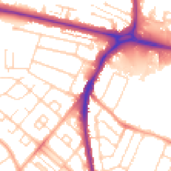
Daytime· 07:00 – 23:00
53.6dB

Night-time· 23:00 – 07:00
43.5dB