8 Broad Road, Watford, WD24 5BX
About 8 Broad Road
8 Broad Road is a four-bedroom mid-terrace house in Watford (WD24 5BX). It has a recorded floor area of 121 m² (around 1302 sq ft), construction records dating it to 2007-2011 and council tax band E. The latest certificate (June 2023) shows a C (score 79), near the top of the C band. Earlier certificates rated it B (November 2011); the latest reading is one band lower. The recommended improvements would push it to B (score 88). Records show the property has been extended at some point in its history.
On energy efficiency it sits in the bottom 10% of properties in this postcode — significant headroom for improvement. Today's modelled estimate of £516,000 sits 77.3% above the 2011 sale of £290,951. Last sold in December 2011, so it's been off the market for around 14 years. One planning record on file: an extension refused in 2017.
What this property has
Inside
- Bedrooms4
- Bathrooms2
- Open-plan layoutYes
- EnsuiteYes
Outside
- Private gardenYes
- ParkingOff road
Building
- Previously extendedYes
Everything you need to know about 8 Broad Road
The true value, the hidden risks and the full sale history, in one report.
30-day money-back guarantee

The data behind every report


Energy performance
8 Broad Road sits at the bottom of the postcode for energy efficiency — meaningful headroom to improve.
EPC Rating
Property Improvements
Changes detected from historical EPC data
More low energy lighting installed
Planning history
- Dec 2017ExtensionFullIn report
Extension: Single storey · Rear of property
Erection of a single storey rear extension to single family terraced dwelling.
- Documents
- 13 docs on file
- Reference
- 17/01519/FUL
What's in 8 Broad Road, Watford, WD24 5BX's planning history?
Refusals, disputes and full decisions on this property and nearby, in the report.
Sales history & valuation
Latest sale on 8 Broad Road was the lowest on Land Registry record across the postcode.
£516,000
Modelled from EPC, postcode comparables.
£290,951
Recorded with HM Land Registry.
Sales timeline
16 December 2011Most recent
£290,951
Median price across the last 5 sales in WD24 5BX: £460,000 (2022–2015).
Versus other Broad Road homes
Price per m² for 8 Broad Road lags the street by a wide margin.
Price per m²
£2,405
Street avg £3,319
Floor Area
121 m²
Street avg 113 m²
CO₂ Emissions
2.5 t/year
Street avg 1.8 t/year
Years Held
14 years
Street avg 12 years
Everything you need to know about 8 Broad Road
The true value, the hidden risks and the full sale history, in one report.
30-day money-back guarantee
The data behind every report
Similar properties nearby
The neighbourhood at a glance
Reported crime in the wider district is trending notably upward year-on-year.
Crime
4/mo
Rising year-on-year across the wider district.
Nearest stop
0.2 km
Maytree Crescent — bus stop.
Closest school
0.3 km
Cherry Tree Primary School. 28 schools nearby.
Go deeper on the local area
The full report breaks down crime, transport links, schools and air quality in depth.
Road noise across the postcode
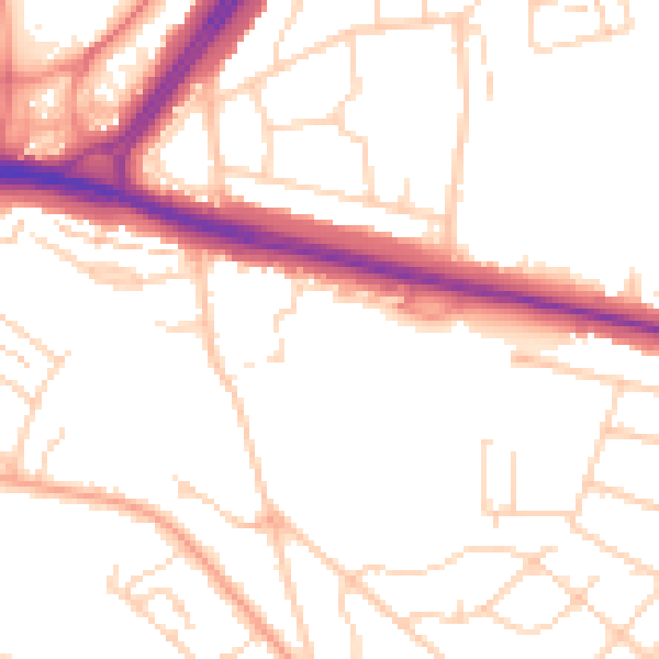
Daytime· 07:00 – 23:00
51.3dB

Night-time· 23:00 – 07:00
41.8dB