2 Broad Road, Watford, WD24 5BX
About 2 Broad Road
2 Broad Road is a four-bedroom mid-terrace house in Watford (WD24 5BX). It has a recorded floor area of 113 m² (around 1221 sq ft) and council tax band E. The latest certificate (September 2011) returns a high B (score 86), putting the home a stone's throw from an A rating. The latest certificate is from September 2011, so improvements made since then won't be reflected. Other recorded features include notable views.
Across 2011–2013, sale prices on this property compounded at 4.6% per year. Today's modelled estimate of £495,000 sits 54.7% above the 2013 sale of £320,000. On the market in March 2013 and unlisted since — roughly 13 years. One historical planning record sits against the property in 2015.
What this property has
Inside
- Bedrooms4
- Dining roomYes
- CloakroomYes
- EnsuiteYes
Outside
- Notable viewsYes
Everything you need to know about 2 Broad Road
The true value, the hidden risks and the full sale history, in one report.
30-day money-back guarantee

The data behind every report


Energy performance
2 Broad Road's carbon output is low for the local stock.
EPC Expired
This certificate is over 10 years old and is no longer valid.Expired 19 Sept 2021
EPC Rating
Planning history
- Sept 2015ExtensionFullIn report
Extension: Single storey · Rear of property
Erection of a single storey rear extension.
- Documents
- 11 docs on file
- Reference
- 15/01043/FULH
What's in 2 Broad Road, Watford, WD24 5BX's planning history?
Refusals, disputes and full decisions on this property and nearby, in the report.
Sales history & valuation
2 Broad Road changed hands twice within eighteen months — unusual for the area.
£495,000
Modelled from EPC, postcode comparables and a sale-price growth of 4.6% per year over 1 year.
£320,000
Growth on file: 4.6% per year over 1 year.
Sales timeline
18 March 2013Most recent
£320,000
+6.7%over 1 year6 October 2011
£299,950
Median price across the last 5 sales in WD24 5BX: £460,000 (2022–2015).
Versus other Broad Road homes
On epc rating, 2 Broad Road stands well clear of the street.
Price per m²
£2,821
Street avg £3,281
Floor Area
113 m²
Street avg 114 m²
CO₂ Emissions
1.4 t/year
Street avg 1.9 t/year
Years Held
13 years
Street avg 12 years
Everything you need to know about 2 Broad Road
The true value, the hidden risks and the full sale history, in one report.
30-day money-back guarantee
The data behind every report
Similar properties nearby
The neighbourhood at a glance
Reported crime in the wider district is trending notably upward year-on-year.
Crime
4/mo
Rising year-on-year across the wider district.
Nearest stop
0.2 km
Maytree Crescent — bus stop.
Closest school
0.3 km
Cherry Tree Primary School. 28 schools nearby.
Go deeper on the local area
The full report breaks down crime, transport links, schools and air quality in depth.
Road noise across the postcode
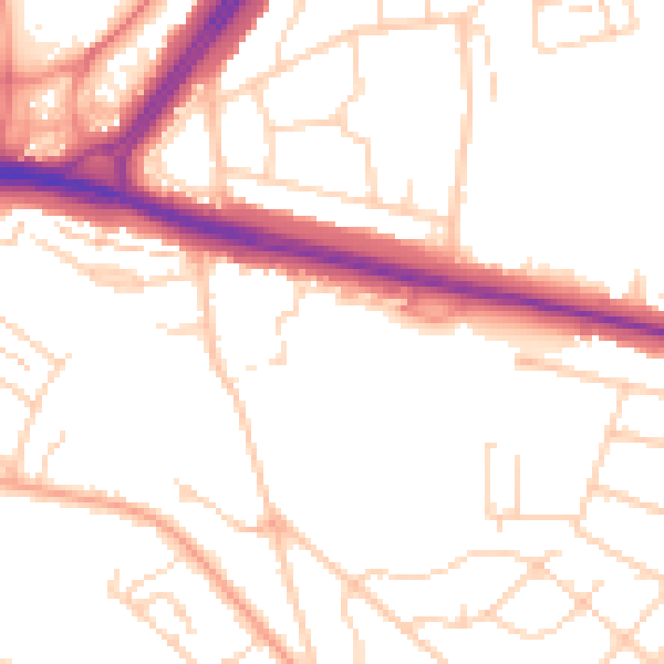
Daytime· 07:00 – 23:00
51.3dB

Night-time· 23:00 – 07:00
41.8dB