83b, Cecil Street, Watford, WD24 5AS
About 83b
83b is a semi-detached house in Watford (WD24 5AS). It has a recorded floor area of 35 m² (around 377 sq ft), construction records dating it to 1900-1929 and council tax band B. The latest certificate (January 2025) shows a C (score 70). The rating has held steady at C across 2 certificates since March 2009. Between certificates, lighting went from Average to Very Good; while hot-water efficiency dropped from Very Good to Good and main heating dropped from Very Good to Good.
It hasn't traded since October 1995, a hold of 31 years that's notably long for the area. Only one transfer is on record with HM Land Registry, suggesting it has stayed in the same hands for a long time. Today's modelled estimate of £192,000 sits 997.1% above the 1995 sale of £17,500. On a £-per-square-foot basis, the last sale (£46/sq ft) was about 79.3% below the postcode norm. At 35 m² it sits well below the postcode median (70 m² across 53 EPCs), making it one of the more compact homes locally. Its energy rating outperforms most of the postcode (better than 79% of similar EPCs).
Everything you need to know about 83b
The true value, the hidden risks and the full sale history, in one report.
30-day money-back guarantee

The data behind every report


Energy performance
EPC Rating
Property Improvements
Changes detected from historical EPC data
Hot water efficiency decreased
More low energy lighting installed
Planning history
83b has no planning applications on record.
Notable planning nearby
3applications of note in the surrounding area
Sales history & valuation
Latest sale on 83b was the lowest on Land Registry record across the postcode.
£192,000
Modelled from EPC, postcode comparables.
£17,500
Recorded with HM Land Registry.
Sales timeline
10 October 1995Most recent
£17,500
Median price across the last 5 sales in WD24 5AS: £380,000 (2024–2023).
Nearby sales in WD24 5AS
Versus other Cecil Street homes
83b outperforms the street on epc rating by a wide margin.
EPC Rating
70 (C)
Street avg 62 (D)
Floor Area
35 m²
Street avg 34 m²
CO₂ Emissions
1.6 t/year
Street avg 2.2 t/year
Habitable Rooms
2 rooms
Street avg 2 rooms
Everything you need to know about 83b
The true value, the hidden risks and the full sale history, in one report.
30-day money-back guarantee
The data behind every report
Similar properties nearby
The neighbourhood at a glance
Rail-style transport is unusually close for this postcode.
Crime
4/mo
Rising year-on-year across the wider district.
Nearest stop
0.1 km
Shakespeare Street — bus stop.
Closest school
0.6 km
Parkgate Junior School. 36 schools nearby.
Go deeper on the local area
The full report breaks down crime, transport links, schools and air quality in depth.
Road noise across the postcode
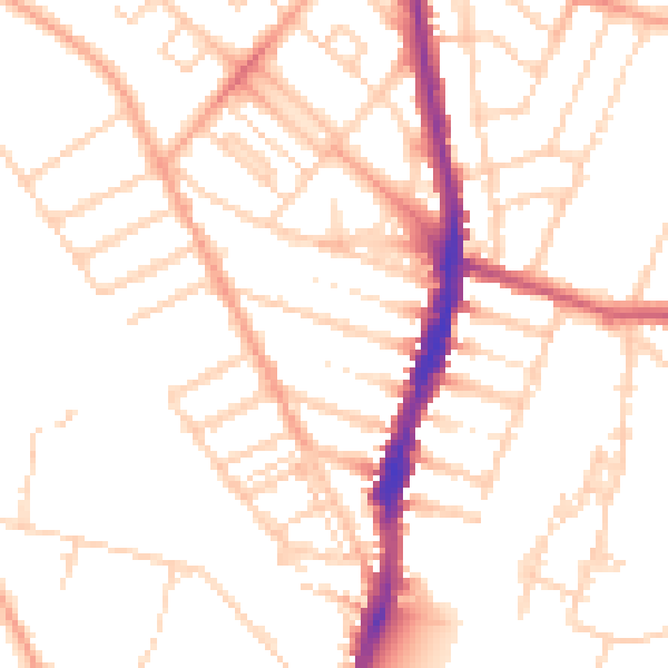
Daytime· 07:00 – 23:00
50.8dB

Night-time· 23:00 – 07:00
40.3dB