38 Hatfield Road, Watford, WD24 4DB
About 38 Hatfield Road
38 Hatfield Road is a two-bedroom end-of-terrace house in Watford (WD24 4DB). It has a recorded floor area of 84 m² (around 904 sq ft), construction records dating it to before 1900 and council tax band C. The latest certificate (March 2024) shows a D (score 64), on the cusp of jumping into the C band. The recommended improvements would lift it to B (score 85), a 2-band jump. Period features are noted in the property record. Our model identifies extension potential, subject to local planning policy.
Across 1997–2024, sale prices on this property compounded at 6.4% per year. On a £-per-square-foot basis, the last sale (£470/sq ft) was about 118.6% above the typical sold price in the postcode. Last sale on file: £425,000 in September 2024.
What this property has
Inside
- Bedrooms2
- Utility roomYes
Outside
- Private gardenSouth-facing
Building
- Period featuresYes
- Extension potentialPossible
Everything you need to know about 38 Hatfield Road
The true value, the hidden risks and the full sale history, in one report.
30-day money-back guarantee

The data behind every report


Energy performance
Recommended upgrades on file would lift this property by multiple EPC bands.
EPC Rating
Planning history
38 Hatfield Road has no planning applications on record.
Notable planning nearby
4applications of note in the surrounding area
We flagged 1 thing worth checking at 38 Hatfield Road
Independent checks surfaced things a buyer would want to understand before offering. The report explains each one in full, with the underlying data and what to ask.
- Larger development activity nearby
30-day money-back guarantee
Sales history & valuation
Price for 38 Hatfield Road has grown more than fourfold since the 1997 starting point.
£447,000
Modelled from EPC, postcode comparables and a sale-price growth of 6.4% per year over 27 years.
£425,000
Growth on file: 6.4% per year over 27 years.
Sales timeline
26 September 2024Most recent
£425,000
+105.7%over 15 years3 November 2008
£206,600
+14.8%over 5 years25 August 2003
£179,950
+126.4%over 6 years27 July 1997
£79,500
Median price across the last 5 sales in WD24 4DB: £400,000 (2025–2022).
Nearby sales in WD24 4DB
Versus other Hatfield Road homes
Years Held for 38 Hatfield Road lags the street by a wide margin.
Price per m²
£5,060
Street avg £4,116
Floor Area
84 m²
Street avg 81 m²
Habitable Rooms
4 rooms
Street avg 4 rooms
CO₂ Emissions
3.6 t/year
Street avg 3.8 t/year
Everything you need to know about 38 Hatfield Road
The true value, the hidden risks and the full sale history, in one report.
30-day money-back guarantee
The data behind every report
Similar properties nearby
1 Salisbury Road
WD24 4DT
1 Ellenbrook Close
WD24 4DP
1 Bruce Grove
WD24 4DZ
10 Byron Avenue
WD24 4HT
1 Liberty Apartments, 19 Devon Road
WD24 4HS
1 The Lodge, Orphanage Road
WD24 4QZ
1 Devon Road
WD24 4HP
10 Balmoral Road
WD24 4EP
The neighbourhood at a glance
Rail-style transport is unusually close for this postcode.
Crime
4/mo
Rising year-on-year across the wider district.
Nearest stop
0.1 km
Regent Street — bus stop.
Closest school
0.7 km
Knutsford Primary Academy. 33 schools nearby.
Go deeper on the local area
The full report breaks down crime, transport links, schools and air quality in depth.
Road noise across the postcode
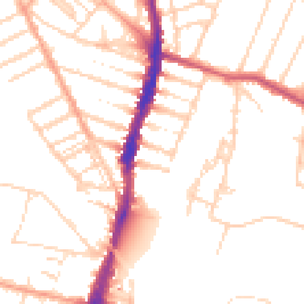
Daytime· 07:00 – 23:00
50.5dB

Night-time· 23:00 – 07:00
40.8dB