32 Hatfield Road, Watford, WD24 4DB
About 32 Hatfield Road
32 Hatfield Road is a two-bedroom mid-terrace house in Watford (WD24 4DB). It has a recorded floor area of 80 m² (around 861 sq ft), construction records dating it to 1900-1929 and council tax band C. The latest certificate (June 2022) shows a C (score 74). When first surveyed in March 2011 the rating was D, the property has climbed 1 band since. Between certificates, window efficiency dropped from Good to Average and lighting dropped from Poor to Very Poor. The recommended improvements would lift it to A (score 92), a 2-band jump. Other recorded features include a basement. The home occupies a cul-de-sac position.
Sold October 2022 for £390,000. Across the public record there are 6 sales, relatively high churn for a single property. That sale was during the post-pandemic price surge, when transactions cleared materially above pre-2020 trend. Its energy rating outperforms most of the postcode (better than 71% of similar EPCs). Across 1998–2022, sale prices on this property compounded at 7.2% per year. Today's modelled estimate of £429,000 is 10% above the 2022 sale price. On a £-per-square-foot basis, the last sale (£453/sq ft) was about 110.6% above the typical sold price in the postcode.
Know exactly what you're buying at 32 Hatfield Road
Before you offer, see what the listing won't tell you, the true value, the red flags and the full history.
Already flagged here
Valuation
against the asking price
Risks
planning & flood
Sold prices
similar homes nearby
Trends
the local market
What this property has
Inside
- Bedrooms2
- Bathrooms2
- EnsuiteYes
- BasementYes
Outside
- Private gardenSouth-facing
- Cul-de-sacYes
Energy performance
Recommended upgrades on file would lift this property by multiple EPC bands.
EPC Rating
Property Improvements
Changes detected from historical EPC data
Heating controls upgraded for better temperature management
High performance glazing installed
Cavity wall insulation installed
Roof insulation improved
More low energy lighting installed
Heating controls changed
Low energy lighting percentage decreased
Planning history
32 Hatfield Road has no planning applications on record.
Notable planning nearby
4applications of note in the surrounding area
We flagged 1 thing worth checking at 32 Hatfield Road
Independent checks surfaced things a buyer would want to understand before offering. The report explains each one in full, with the underlying data and what to ask.
- Larger development activity nearby
30-day money-back guarantee
Sales history & valuation
Price for 32 Hatfield Road has grown more than fourfold since the 1998 starting point.
£429,000
Modelled from EPC, postcode comparables and a sale-price growth of 7.2% per year over 25 years.
£390,000
Growth on file: 7.2% per year over 25 years.
Sales timeline
6 October 2022Most recent
£390,000
+56.9%over 8 years12 June 2014
£248,500
+25.5%over 2 years13 July 2011
£198,000
+10.6%over 5 years22 September 2005
£179,000
+21.8%over 3 years5 September 2002
£147,000
+108.5%over 4 years30 March 1998
£70,500
Median price across the last 5 sales in WD24 4DB: £416,000 (2025–2022).
Nearby sales in WD24 4DB
Everything we know about 32 Hatfield Road, in one report
What it's really worth, what could be wrong, and the planning, sales and area data in full.
What we flagged
- Larger development activity nearby

Versus other Hatfield Road homes
32 Hatfield Road outperforms the street on epc rating by a wide margin.
Price per m²
£4,875
Street avg £4,126
Floor Area
80 m²
Street avg 81 m²
Habitable Rooms
4 rooms
Street avg 4 rooms
CO₂ Emissions
2.3 t/year
Street avg 3.9 t/year
Similar properties nearby
1 Salisbury Road
WD24 4DT
1 Bruce Grove
WD24 4DZ
1 Ellenbrook Close
WD24 4DP
10 Byron Avenue
WD24 4HT
1 Liberty Apartments, 19 Devon Road
WD24 4HS
1 The Lodge, Orphanage Road
WD24 4QZ
1 Devon Road
WD24 4HP
10 Balmoral Road
WD24 4EP
The neighbourhood at a glance
Rail-style transport is unusually close for this postcode.
Crime
4/mo
Rising year-on-year across the wider district.
Nearest stop
0.1 km
Regent Street — bus stop.
Closest school
0.7 km
Knutsford Primary Academy. 33 schools nearby.
Go deeper on the local area
The full report breaks down crime, transport links, schools and air quality in depth.
Road noise across the postcode
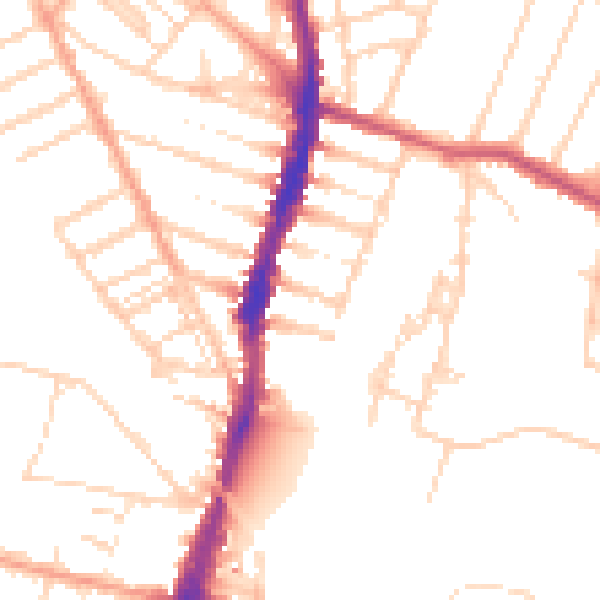
Daytime· 07:00 – 23:00
50.5dB

Night-time· 23:00 – 07:00
40.8dB