41 Hatfield Road, Watford, WD24 4DA
About 41 Hatfield Road
41 Hatfield Road is a three-bedroom end-of-terrace house in Watford (WD24 4DA). It has a recorded floor area of 73 m² (around 786 sq ft), construction records dating it to before 1900 and council tax band C. The latest certificate (February 2017) shows an E (score 52), well below the UK norm with real room to improve. The recommended improvements would lift it to B (score 82), a 3-band jump.
On energy efficiency it sits in the bottom 10% of properties in this postcode — significant headroom for improvement. Today's modelled estimate of £419,000 is 33% above the 2017 sale price. On a £-per-square-foot basis, the last sale (£401/sq ft) was about 65.8% above the typical sold price in the postcode. Last sold in April 2017, so it's been off the market for around 9 years. One historical planning record sits against the property in 2017.
Know exactly what you're buying at 41 Hatfield Road
Before you offer, see what the listing won't tell you, the true value, the red flags and the full history.
Already flagged here
Valuation
against the asking price
Risks
planning & flood
Sold prices
similar homes nearby
Trends
the local market
What this property has
Inside
- Bedrooms3
- Bathrooms1
Energy performance
41 Hatfield Road sits at the bottom of the postcode for energy efficiency — meaningful headroom to improve.
EPC Rating
Planning history
- Jul 2017ConversionAmendmentIn report
Proposed dormer over existing rear outrigger
- Documents
- 6 docs on file
- Reference
- 17/00710/LDC
We flagged 1 thing worth checking at 41 Hatfield Road
Independent checks surfaced things a buyer would want to understand before offering. The report explains each one in full, with the underlying data and what to ask.
- Larger development activity nearby
30-day money-back guarantee
Sales history & valuation
41 Hatfield Road valuation sits well clear of the typical sold price in this postcode.
£419,000
Modelled from EPC, postcode comparables.
£315,000
Recorded with HM Land Registry.
Sales timeline
27 April 2017Most recent
£315,000
Median price across the last 5 sales in WD24 4DA: £370,000 (2023–2021).
Nearby sales in WD24 4DA
Everything we know about 41 Hatfield Road, in one report
What it's really worth, what could be wrong, and the planning, sales and area data in full.
What we flagged
- Larger development activity nearby

Versus other Hatfield Road homes
On co₂ emissions, 41 Hatfield Road runs well behind the street norm.
Price per m²
£4,315
Street avg £4,269
Floor Area
73 m²
Street avg 70 m²
Habitable Rooms
5 rooms
Street avg 4 rooms
CO₂ Emissions
4.7 t/year
Street avg 3.2 t/year
Similar properties nearby
10 Balmoral Road
WD24 4EP
1 Balmoral Road
WD24 4ER
10 Bradshaw Road
WD24 4DE
10 Brixton Road
WD24 4DX
1 Byron Avenue
WD24 4HT
1 Bruce Grove
WD24 4DZ
1 Salisbury Road
WD24 4DT
1 Ellenbrook Close
WD24 4DP
The neighbourhood at a glance
Rail-style transport is unusually close for this postcode.
Crime
4/mo
Rising year-on-year across the wider district.
Nearest stop
0.1 km
Regent Street — bus stop.
Closest school
0.7 km
Parkgate Junior School. 33 schools nearby.
Go deeper on the local area
The full report breaks down crime, transport links, schools and air quality in depth.
Road noise across the postcode
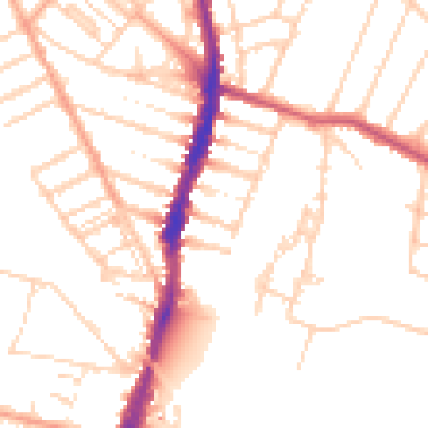
Daytime· 07:00 – 23:00
50.6dB

Night-time· 23:00 – 07:00
40.8dB