5 Anglesey Road, Watford, WD19 6TY
About 5 Anglesey Road
5 Anglesey Road is a semi-detached house in Watford (WD19 6TY). It has a recorded floor area of 99 m² (around 1066 sq ft), construction records dating it to 1950-1966 and council tax band D. The latest certificate (October 2025) shows a C (score 73).
Everything you need to know about 5 Anglesey Road
The true value, the hidden risks and the full sale history, in one report.
30-day money-back guarantee

The data behind every report


Energy performance
EPC Rating
Planning history
5 Anglesey Road has no planning applications on record.
Notable planning nearby
4applications of note in the surrounding area
We flagged 1 thing worth checking at 5 Anglesey Road
Independent checks surfaced things a buyer would want to understand before offering. The report explains each one in full, with the underlying data and what to ask.
- Larger development activity nearby
30-day money-back guarantee
Sales history & valuation
5 Anglesey Road has no Land Registry sales on file, suggesting it has stayed in the same hands since registration began.
£490,000
Modelled from EPC, postcode comparables.
No sales recorded with HM Land Registry
That can mean the property has never traded since the registry began publishing in 1995, was a new build that hasn't been registered yet, or is held in the same hands long-term.
Median price across the last 5 sales in WD19 6TY: £295,000 (2023–2012).
Nearby sales in WD19 6TY
Versus other Anglesey Road homes
On floor area, 5 Anglesey Road stands well clear of the street.
EPC Rating
73 (C)
Street avg 69 (C)
Floor Area
99 m²
Street avg 93 m²
CO₂ Emissions
2.8 t/year
Street avg 3.2 t/year
Habitable Rooms
5 rooms
Street avg 4 rooms
Everything you need to know about 5 Anglesey Road
The true value, the hidden risks and the full sale history, in one report.
30-day money-back guarantee
The data behind every report
Similar properties nearby
1 Anglesey Road
WD19 6TY
1 Ballater Close
WD19 6HX
1 Belfairs Green
WD19 6YQ
1 Burnley Close
WD19 6YS
1 Beeston Close
WD19 6LF
1 Cherry Hills
WD19 6DH
1 Abraham Close, Muirfield Road
WD19 6HH
1 Bognor Gardens
WD19 6UW
The neighbourhood at a glance
Daytime road noise here sits well below conversation level — a quiet pocket of the postcode.
Crime
4/mo
Steady year-on-year across the wider district.
Nearest stop
0.2 km
Heysham Drive — bus stop.
Closest school
0.1 km
Greenfields Primary School. 20 schools nearby.
Go deeper on the local area
The full report breaks down crime, transport links, schools and air quality in depth.
Road noise across the postcode
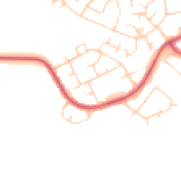
Daytime· 07:00 – 23:00
46.0dB

Night-time· 23:00 – 07:00
38.0dB