49 The Courtway, Watford, WD19 5DP
About 49 The Courtway
49 The Courtway is a two-bedroom semi-detached house in Watford (WD19 5DP). It has a recorded floor area of 78 m² (around 840 sq ft), construction records dating it to 1930-1949 and council tax band D. The latest certificate (March 2025) shows an E (score 45), well below the UK norm with real room to improve. The recommended improvements would lift it to B (score 86), a 3-band jump. Our model identifies extension potential, subject to local planning policy.
2 planning records sit against the property, 1 approved, 0 refused, 1 pending. Past consents include a loft conversion, meaningful when judging how the property has evolved. An active application for an extension is awaiting a decision. It changed hands recently, sold September 2025 for £410,000. It lags the bulk of the postcode on energy efficiency (less efficient than 86% of similar EPCs). Across 1995–2025, sale prices on this property compounded at 5.2% per year. Today's modelled estimate of £457,000 is 11.5% above the 2025 sale price. On a £-per-square-foot basis, the last sale (£488/sq ft) was about 54.6% above the typical sold price in the postcode.
What this property has
Inside
- Bedrooms2
- Bathrooms1
Outside
- Private gardenRear
- ParkingOff street
Building
- Central heatingYes
- Extension potentialPossible
Everything you need to know about 49 The Courtway
The true value, the hidden risks and the full sale history, in one report.
30-day money-back guarantee

The data behind every report


Energy performance
Recommended upgrades on file would lift this property by multiple EPC bands.
EPC Rating
Planning history
- Sept 2025Loft ConversionFullIn report
Extension: Single storey · Rear of property
Construction of single storey rear extension; loft conversion including increase in ridge height with hip to gable roof extension, rear dormer and front rooflights
Extension- Documents
- 23 docs on file
- Reference
- 25/1599/FUL
- Mar 2026Loft ConversionOutlineIn report
Certificate of Lawfulness Proposed Development: Loft conversion including hip to gable roof extension with rear dormer, front rooflights and internal alterations.
- Documents
- 17 docs on file
- Reference
- 26/0036/CLPD
What's in 49 The Courtway, Watford, WD19 5DP's planning history?
Refusals, disputes and full decisions on this property and nearby, in the report.
Sales history & valuation
49 The Courtway has more than quadrupled in price since its earliest registered sale in 1995.
£457,000
Modelled from EPC, postcode comparables and a sale-price growth of 5.2% per year over 30 years.
£410,000
Growth on file: 5.2% per year over 30 years.
Sales timeline
25 September 2025Most recent
£410,000
+368.6%over 30 years29 May 1995
£87,500
Median price across the last 5 sales in WD19 5DP: £500,000 (2025–2021).
Versus other The Courtway homes
49 The Courtway is notably below the street on years held.
Price per m²
£5,256
Street avg £5,192
Floor Area
78 m²
Street avg 83 m²
Habitable Rooms
5 rooms
Street avg 4 rooms
CO₂ Emissions
5.9 t/year
Street avg 3.8 t/year
Everything you need to know about 49 The Courtway
The true value, the hidden risks and the full sale history, in one report.
30-day money-back guarantee
The data behind every report
Similar properties nearby
1 Pankridge, The Hoe
WD19 5AX
1 Gibbs Couch
WD19 5EG
1 Kimblewick, By The Wood
WD19 5AJ
1 The Courtway
WD19 5DP
1 Chartridge, The Hoe
WD19 5AT
1 By The Wood
WD19 5AG
1 Foxleys
WD19 5DB
1 Bucklands, Gibbs Couch
WD19 5DT
The neighbourhood at a glance
Rail-style transport is unusually close for this postcode.
Crime
4/mo
Steady year-on-year across the wider district.
Nearest stop
0.1 km
Upper Hitch — bus stop.
Closest school
0.4 km
St Meryl School. 27 schools nearby.
Go deeper on the local area
The full report breaks down crime, transport links, schools and air quality in depth.
Road noise across the postcode
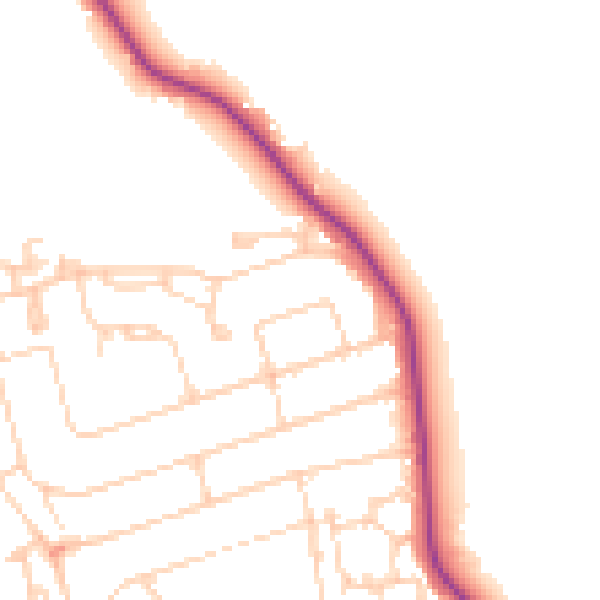
Daytime· 07:00 – 23:00
48.8dB

Night-time· 23:00 – 07:00
40.2dB