6 Warneford Place, Watford, WD19 4DP
About 6 Warneford Place
6 Warneford Place is a four-bedroom mid-terrace house in Watford (WD19 4DP). It has a recorded floor area of 118 m² (around 1270 sq ft), construction records dating it to 1900-1929 and council tax band E. The latest certificate (July 2013) shows a D (score 60), on the cusp of jumping into the C band. The recommended improvements would lift it to B (score 83), a 2-band jump. The latest certificate is from July 2013, so improvements made since then won't be reflected.
Today's modelled estimate of £628,000 sits 51% above the 2013 sale of £416,000. At 118 m² it's 29.7% larger than the typical home in the postcode (91 m² median across 9 EPCs). On the market in October 2013 and unlisted since — roughly 13 years.
What this property has
Inside
- Bedrooms4
- Dining roomYes
- CloakroomYes
- EnsuiteYes
- StudyYes
Building
- Heating systemGas
Everything you need to know about 6 Warneford Place
The true value, the hidden risks and the full sale history, in one report.
30-day money-back guarantee

The data behind every report


Energy performance
Recommended upgrades on file would lift this property by multiple EPC bands.
EPC Expired
This certificate is over 10 years old and is no longer valid.Expired 02 Jul 2023
EPC Rating
Planning history
6 Warneford Place has no planning applications on record.
Notable planning nearby
4applications of note in the surrounding area
We flagged 1 thing worth checking at 6 Warneford Place
Independent checks surfaced things a buyer would want to understand before offering. The report explains each one in full, with the underlying data and what to ask.
- Larger development activity nearby
30-day money-back guarantee
Sales history & valuation
6 Warneford Place valuation sits well clear of the typical sold price in this postcode.
£628,000
Modelled from EPC, postcode comparables.
£416,000
Recorded with HM Land Registry.
Sales timeline
16 October 2013Most recent
£416,000
Median price across the last 5 sales in WD19 4DP: £570,000 (2021–2013).
Nearby sales in WD19 4DP
Versus other Warneford Place homes
On co₂ emissions, 6 Warneford Place runs well behind the street norm.
Price per m²
£3,525
Street avg £4,557
Floor Area
118 m²
Street avg 95 m²
Habitable Rooms
5 rooms
Street avg 5 rooms
CO₂ Emissions
5.2 t/year
Street avg 3.5 t/year
Everything you need to know about 6 Warneford Place
The true value, the hidden risks and the full sale history, in one report.
30-day money-back guarantee
The data behind every report
Similar properties nearby
1 Elm Avenue
WD19 4BD
1 Eley Place
WD19 4FQ
1 Brookmill Close
WD19 4BB
1 Cedar Road
WD19 4QP
1 Brookdene Avenue
WD19 4LG
1 Brookside Road
WD19 4BW
1 Blackwell Drive
WD19 4HP
1 Caroline Place, Capel Road
WD19 4AF
The neighbourhood at a glance
Rail-style transport is unusually close for this postcode.
Crime
4/mo
Steady year-on-year across the wider district.
Nearest stop
0.2 km
Grange Road — bus stop.
Closest school
0.2 km
Bushey and Oxhey Infant School. 34 schools nearby.
Go deeper on the local area
The full report breaks down crime, transport links, schools and air quality in depth.
Road noise across the postcode
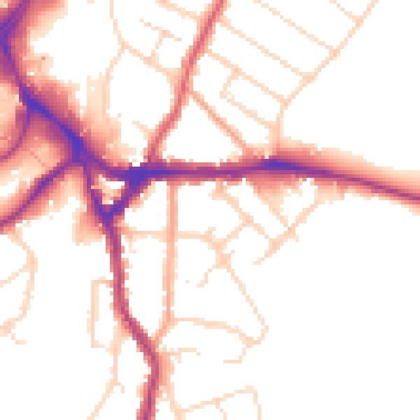
Daytime· 07:00 – 23:00
51.0dB

Night-time· 23:00 – 07:00
42.4dB