17 Warneford Place, Watford, WD19 4DP
About 17 Warneford Place
17 Warneford Place is a mid-terrace house in Watford (WD19 4DP). It has a recorded floor area of 83 m² (around 890 sq ft), construction records dating it to 2003-2006 and council tax band F. The latest certificate (April 2011) shows a C (score 78), near the top of the C band. The recommended improvements would push it to B (score 82). The latest certificate is from April 2011, so improvements made since then won't be reflected.
It hasn't traded since May 2005, a hold of 21 years that's notably long for the area. Today's modelled estimate of £518,000 sits 68.5% above the 2005 sale of £307,500. At 83 m² it's 27.4% smaller than the typical home in the postcode (114 m² median across 9 EPCs).
Everything you need to know about 17 Warneford Place
The true value, the hidden risks and the full sale history, in one report.
30-day money-back guarantee

The data behind every report


Energy performance
17 Warneford Place's EPC is over a decade old — improvements since won't be reflected.
EPC Expired
This certificate is over 10 years old and is no longer valid.Expired 10 Apr 2021
EPC Rating
Planning history
17 Warneford Place has no planning applications on record.
Notable planning nearby
4applications of note in the surrounding area
We flagged 1 thing worth checking at 17 Warneford Place
Independent checks surfaced things a buyer would want to understand before offering. The report explains each one in full, with the underlying data and what to ask.
- Larger development activity nearby
30-day money-back guarantee
Sales history & valuation
17 Warneford Place valuation sits well clear of the typical sold price in this postcode.
£518,000
Modelled from EPC, postcode comparables.
£307,500
Recorded with HM Land Registry.
Sales timeline
30 May 2005Most recent
£307,500
Median price across the last 5 sales in WD19 4DP: £570,000 (2021–2013).
Nearby sales in WD19 4DP
Versus other Warneford Place homes
EPC Rating for 17 Warneford Place runs comfortably ahead of the street norm.
Price per m²
£3,718
Street avg £4,535
Floor Area
83 m²
Street avg 99 m²
Habitable Rooms
5 rooms
Street avg 5 rooms
CO₂ Emissions
2.8 t/year
Street avg 3.7 t/year
Everything you need to know about 17 Warneford Place
The true value, the hidden risks and the full sale history, in one report.
30-day money-back guarantee
The data behind every report
Similar properties nearby
The neighbourhood at a glance
Rail-style transport is unusually close for this postcode.
Crime
4/mo
Steady year-on-year across the wider district.
Nearest stop
0.2 km
Grange Road — bus stop.
Closest school
0.2 km
Bushey and Oxhey Infant School. 34 schools nearby.
Go deeper on the local area
The full report breaks down crime, transport links, schools and air quality in depth.
Road noise across the postcode
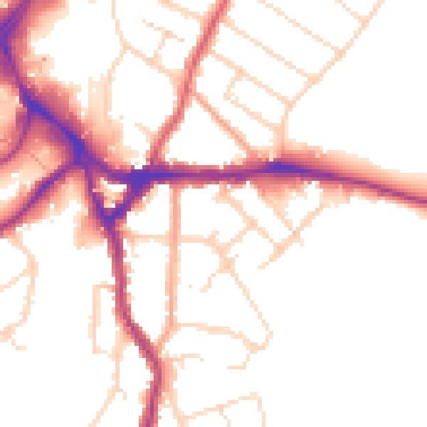
Daytime· 07:00 – 23:00
51.0dB

Night-time· 23:00 – 07:00
42.4dB