5 King Edward Road, Watford, WD19 4DN
About 5 King Edward Road
5 King Edward Road is a three-bedroom mid-terrace house in Watford (WD19 4DN). It has a recorded floor area of 96 m² (around 1033 sq ft), construction records dating it to 1900-1929 and council tax band D. The latest certificate (August 2014) shows a D (score 59), a step below the typical UK home. When first surveyed in February 2010 the rating was E, the property has climbed 1 band since. Between certificates, window efficiency went from Average to Good and lighting went from Good to Very Good; while roof efficiency dropped from Average to Poor and hot-water efficiency dropped from Good to Average. The recommended improvements would lift it to B (score 87), a 2-band jump. The latest certificate is from August 2014, so improvements made since then won't be reflected. Other recorded features include a loft.
Last changed hands 12 years ago, in July 2014. Across the public record there are 4 sales, relatively high churn for a single property. Across 1996–2014, sale prices on this property compounded at 9.1% per year. Today's modelled estimate of £541,000 is 20.5% above the 2014 sale price. On a £-per-square-foot basis, the last sale (£435/sq ft) was about 29.4% above the typical sold price in the postcode. One historical planning record sits against the property in 2016.
What this property has
Inside
- Bedrooms3
- Dining roomYes
- LoftYes
Outside
- Private gardenRear
Building
- RefurbishedYes
Everything you need to know about 5 King Edward Road
The true value, the hidden risks and the full sale history, in one report.
30-day money-back guarantee

The data behind every report


Energy performance
Recommended upgrades on file would lift this property by multiple EPC bands.
EPC Expired
This certificate is over 10 years old and is no longer valid.Expired 31 Aug 2024
EPC Rating
Property Improvements
Changes detected from historical EPC data
Hot water efficiency decreased
Window efficiency improved
More low energy lighting installed
Planning history
- Jun 2016BasementFullIn report
Extension: Single storey · Side and rear of property
Erection of a single storey side and rear extension with basement replacing the existing raised patio area. New patio above basement, with new stairs to provide access to the rear garden, and new lower patio to provide garden access from basement (Amended plans)
Extension- Documents
- 15 docs on file
- Reference
- 16/00521/FULH
We flagged 1 thing worth checking at 5 King Edward Road
Independent checks surfaced things a buyer would want to understand before offering. The report explains each one in full, with the underlying data and what to ask.
- Larger development activity nearby
30-day money-back guarantee
Sales history & valuation
Price for 5 King Edward Road has grown more than fourfold since the 1996 starting point.
£541,000
Modelled from EPC, postcode comparables and a sale-price growth of 9.1% per year over 18 years.
£449,000
Growth on file: 9.1% per year over 18 years.
Sales timeline
21 July 2014Most recent
£449,000
+44.8%over 2 years9 December 2011
£310,000
+10.7%over 7 years22 June 2004
£280,000
+191.7%over 7 years10 October 1996
£96,000
Median price across the last 5 sales in WD19 4DN: £605,000 (2024–2021).
Nearby sales in WD19 4DN
Versus other King Edward Road homes
Habitable Rooms for 5 King Edward Road lags the street by a wide margin.
Price per m²
£4,677
Street avg £5,303
Floor Area
96 m²
Street avg 93 m²
Habitable Rooms
3 rooms
Street avg 5 rooms
CO₂ Emissions
4.6 t/year
Street avg 4.8 t/year
Everything you need to know about 5 King Edward Road
The true value, the hidden risks and the full sale history, in one report.
30-day money-back guarantee
The data behind every report
Similar properties nearby
1 Brookside Road
WD19 4BW
1 Brookmill Close
WD19 4BB
1 Blackwell Drive
WD19 4HP
1 Cedar Road
WD19 4QP
1 Brookdene Avenue
WD19 4LG
1 Caroline Place, Capel Road
WD19 4AF
1 Elm Avenue
WD19 4BD
1 Carlton Court, Eastbury Road
WD19 4QA
The neighbourhood at a glance
Rail-style transport is unusually close for this postcode.
Crime
4/mo
Steady year-on-year across the wider district.
Nearest stop
0.1 km
Grange Road — bus stop.
Closest school
0.2 km
Bushey Manor Junior School. 34 schools nearby.
Go deeper on the local area
The full report breaks down crime, transport links, schools and air quality in depth.
Road noise across the postcode
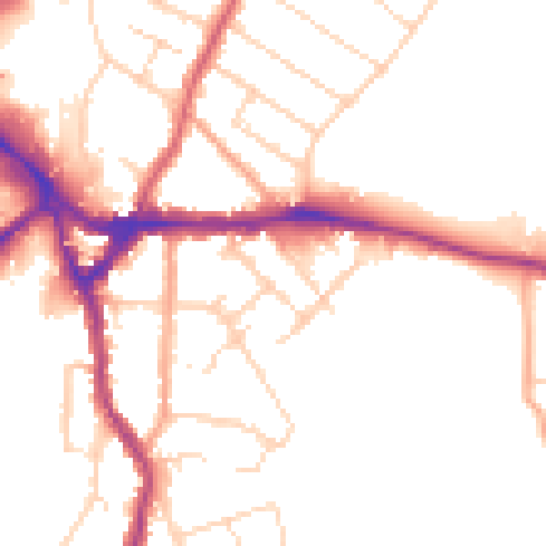
Daytime· 07:00 – 23:00
50.2dB

Night-time· 23:00 – 07:00
41.7dB