32a, Villiers Road, Watford, WD19 4AH
About 32a
32a is a detached house in Watford (WD19 4AH). It has a recorded floor area of 100 m² (around 1076 sq ft), construction records dating it to 1983-1990 and council tax band C. The latest certificate (January 2016) shows a D (score 63), on the cusp of jumping into the C band. The rating has held steady at D across 3 certificates since July 2013. Between certificates, hot-water efficiency went from Average to Good and lighting went from Good to Very Good. The recommended improvements would push it to C (score 80). The latest certificate is from January 2016, so improvements made since then won't be reflected.
At 100 m² the property is well over the postcode median (68 m² across 13 EPCs), placing it in the larger end of the local stock.
Everything you need to know about 32a
The true value, the hidden risks and the full sale history, in one report.
30-day money-back guarantee

The data behind every report


Energy performance
EPC Expired
This certificate is over 10 years old and is no longer valid.Expired 18 Jan 2026
EPC Rating
Property Improvements
Changes detected from historical EPC data
Heating controls upgraded for better temperature management
Hot water efficiency improved
Planning history
32a has no planning applications on record.
Notable planning nearby
4applications of note in the surrounding area
We flagged 1 thing worth checking at 32a
Independent checks surfaced things a buyer would want to understand before offering. The report explains each one in full, with the underlying data and what to ask.
- Larger development activity nearby
30-day money-back guarantee
Sales history & valuation
32a has no Land Registry sales on file, suggesting it has stayed in the same hands since registration began.
£497,000
Modelled from EPC, postcode comparables.
No sales recorded with HM Land Registry
That can mean the property has never traded since the registry began publishing in 1995, was a new build that hasn't been registered yet, or is held in the same hands long-term.
Median price across the last 5 sales in WD19 4AH: £392,000 (2023–2019).
Nearby sales in WD19 4AH
Versus other Villiers Road homes
32a outperforms the street on floor area by a wide margin.
EPC Rating
63 (D)
Street avg 60 (D)
Floor Area
100 m²
Street avg 68 m²
CO₂ Emissions
4.3 t/year
Street avg 3.5 t/year
Habitable Rooms
4 rooms
Street avg 4 rooms
Everything you need to know about 32a
The true value, the hidden risks and the full sale history, in one report.
30-day money-back guarantee
The data behind every report
Similar properties nearby
The neighbourhood at a glance
Rail-style transport is unusually close for this postcode.
Crime
4/mo
Steady year-on-year across the wider district.
Nearest stop
0.2 km
Bushey Railway Station East — bus stop.
Closest school
0.2 km
Bushey and Oxhey Infant School. 34 schools nearby.
Go deeper on the local area
The full report breaks down crime, transport links, schools and air quality in depth.
Road noise across the postcode
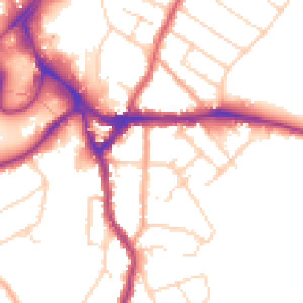
Daytime· 07:00 – 23:00
51.7dB

Night-time· 23:00 – 07:00
42.9dB