30 Villiers Road, Watford, WD19 4AH
About 30 Villiers Road
30 Villiers Road is a mid-terrace house in Watford (WD19 4AH). It has a recorded floor area of 81 m² (around 872 sq ft), construction records dating it to 1900-1929 and council tax band C. At 81 m² this is the 12th smallest of 14 units on EPC record in the building, where floor areas span 59–100 m². The building's EPC ratings span E to C across 14 units on file. The latest certificate (September 2021) shows a D (score 64), on the cusp of jumping into the C band. The recommended improvements would push it to C (score 77).
Untraded for 18 years, with the last transfer in December 2007. That sale landed at the peak of the pre-credit-crunch market, which is a useful reference point when interpreting the price. Today's modelled estimate of £332,000 sits 66% above the 2007 sale of £200,000. On a £-per-square-foot basis, the last sale (£229/sq ft) was about 17.3% below the postcode norm. At 81 m² it's 19.1% larger than the typical home in the postcode (68 m² median across 13 EPCs).
Everything you need to know about 30 Villiers Road
The true value, the hidden risks and the full sale history, in one report.
30-day money-back guarantee

The data behind every report


Energy performance
EPC Rating
Planning history
30 Villiers Road has no planning applications on record.
Notable planning nearby
4applications of note in the surrounding area
We flagged 1 thing worth checking at 30 Villiers Road
Independent checks surfaced things a buyer would want to understand before offering. The report explains each one in full, with the underlying data and what to ask.
- Larger development activity nearby
30-day money-back guarantee
Sales history & valuation
The latest sale landed at the peak of the pre-credit-crunch market — a high-water reference point.
£332,000
Modelled from EPC, postcode comparables.
£200,000
Recorded with HM Land Registry.
Sales timeline
20 December 2007Most recent
£200,000
Median price across the last 5 sales in WD19 4AH: £392,000 (2023–2019).
Nearby sales in WD19 4AH
Everything you need to know about 30 Villiers Road
The true value, the hidden risks and the full sale history, in one report.
30-day money-back guarantee
The data behind every report
Similar properties nearby
1 Carlton Court, Eastbury Road
WD19 4QA
1 Dorchester Court, Chalk Hill
WD19 4DB
1 Colne Avenue
WD19 4JF
1 Caroline Place, Capel Road
WD19 4AF
1 Crossmead
WD19 4JG
1 Field End Close
WD19 4DF
1 Cherry Lodge, Eastbury Road
WD19 4QR
1 Blackwell Drive
WD19 4HP
The neighbourhood at a glance
Rail-style transport is unusually close for this postcode.
Crime
4/mo
Steady year-on-year across the wider district.
Nearest stop
0.2 km
Bushey Railway Station East — bus stop.
Closest school
0.2 km
Bushey and Oxhey Infant School. 34 schools nearby.
Go deeper on the local area
The full report breaks down crime, transport links, schools and air quality in depth.
Road noise across the postcode
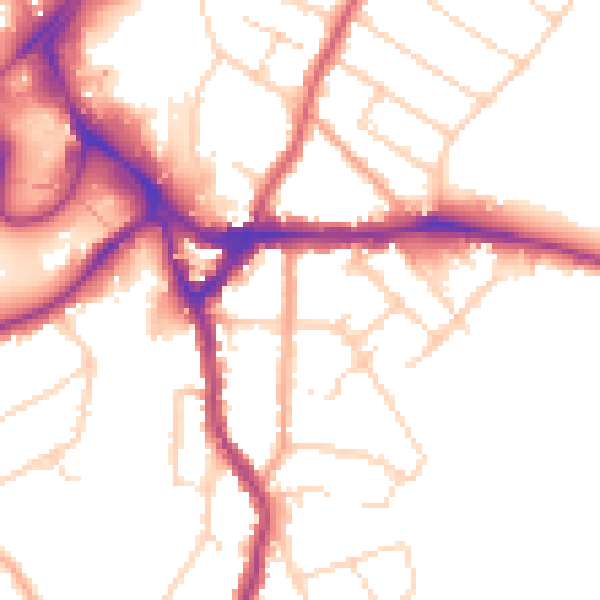
Daytime· 07:00 – 23:00
51.7dB

Night-time· 23:00 – 07:00
42.9dB