7 Cole Road, Watford, WD17 4QR
About 7 Cole Road
7 Cole Road is a three-bedroom mid-terrace house in Watford (WD17 4QR). It has a recorded floor area of 81 m² (around 872 sq ft), construction records dating it to before 1900 and council tax band D. The latest certificate (September 2020) shows a D (score 58), a step below the typical UK home. The recommended improvements would lift it to B (score 83), a 2-band jump.
A recent sale: £508,000 in August 2025. Across 1998–2025, sale prices on this property compounded at 5.4% per year. On a £-per-square-foot basis, the last sale (£583/sq ft) was about 92.7% above the typical sold price in the postcode.
What this property has
Inside
- Bedrooms3
- Bathrooms1
- StudyYes
Outside
- Private gardenRear
- ParkingYes
Everything you need to know about 7 Cole Road
The true value, the hidden risks and the full sale history, in one report.
30-day money-back guarantee

The data behind every report


Energy performance
Recommended upgrades on file would lift this property by multiple EPC bands.
EPC Rating
Planning history
7 Cole Road has no planning applications on record.
Notable planning nearby
3applications of note in the surrounding area
Sales history & valuation
Latest sale on 7 Cole Road was the highest on Land Registry record across the postcode.
£504,000
Modelled from EPC, postcode comparables and a sale-price growth of 5.4% per year over 27 years.
£508,000
Growth on file: 5.4% per year over 27 years.
Sales timeline
12 August 2025Most recent
£508,000
-1.4%over 4 years11 January 2021
£515,000
+76.4%over 14 years28 September 2006
£292,000
+35.8%over 3 years31 July 2003
£215,000
+76.2%over 4 years14 September 1998
£122,000
Median price across the last 5 sales in WD17 4QR: £446,000 (2024–2012).
Versus other Cole Road homes
7 Cole Road is notably below the street on years held.
Price per m²
£6,272
Street avg £4,262
Floor Area
81 m²
Street avg 87 m²
Habitable Rooms
5 rooms
Street avg 4 rooms
CO₂ Emissions
3.4 t/year
Street avg 3.6 t/year
Everything you need to know about 7 Cole Road
The true value, the hidden risks and the full sale history, in one report.
30-day money-back guarantee
The data behind every report
Similar properties nearby
1 Cole Road
WD17 4QR
1 Greenbank Road
WD17 4JJ
1 Essex Road
WD17 4EL
1 Birchmead
WD17 4RU
1 Dellfield Close
WD17 4LB
1 Bromet Close
WD17 4LP
1 Bellamy Close
WD17 4RN
1 Arden Court, Lockhart Road
WD17 4AQ
The neighbourhood at a glance
Rail-style transport is unusually close for this postcode.
Crime
10/mo
Steady year-on-year across the wider district.
Nearest stop
0.2 km
Southern Cross PH — bus stop.
Closest school
0.6 km
Lanchester Primary School. 36 schools nearby.
Go deeper on the local area
The full report breaks down crime, transport links, schools and air quality in depth.
Road noise across the postcode
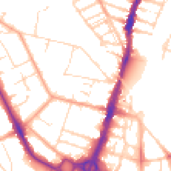
Daytime· 07:00 – 23:00
52.2dB

Night-time· 23:00 – 07:00
42.2dB