12 Hemingford Court, Gartlet Road, Watford, WD17 2AQ
About 12 Hemingford Court
12 Hemingford Court is a property in Watford (WD17 2AQ). It has a recorded floor area of 68 m² (around 732 sq ft). The latest certificate (November 2016) returns a B (score 82), comfortably above the UK average. At 68 m² this is the 33rd smallest of 34 units on EPC record in the building, where floor areas span 33–69 m². The building's EPC ratings span C to B, with this unit at the top.
At 68 m² the property is well over the postcode median (46 m² across 33 EPCs), placing it in the larger end of the local stock. On a £-per-square-foot basis, the last sale (£410/sq ft) was about 18.4% below the postcode norm. 9 years since the last transfer (December 2016).
Everything you need to know about 12 Hemingford Court
The true value, the hidden risks and the full sale history, in one report.
30-day money-back guarantee

The data behind every report


Energy performance
EPC Rating
Planning history
12 Hemingford Court has no planning applications on record.
Notable planning nearby
8applications of note in the surrounding area
We flagged 2 things worth checking at 12 Hemingford Court
Independent checks surfaced things a buyer would want to understand before offering. The report explains each one in full, with the underlying data and what to ask.
- Signs of HMO activity in the area
- Larger development activity nearby
30-day money-back guarantee
Sales history & valuation
£323,000
Modelled from EPC, postcode comparables.
£300,000
Recorded with HM Land Registry.
Sales timeline
13 December 2016Most recent
£300,000
Median price across the last 5 sales in WD17 2AQ: £257,000 (2025–2022).
Nearby sales in WD17 2AQ
16 Hemingford Court, Gartlet Road, Watford, WD17 2AQ
Sold Jan 2025
£257,00014 Hemingford Court, Gartlet Road, Watford, WD17 2AQ
Sold Jan 2025
£250,00011 Hemingford Court, Gartlet Road, Watford, WD17 2AQ
Sold Dec 2024
£320,00010 Hemingford Court, Gartlet Road, Watford, WD17 2AQ
Sold Apr 2023
£357,0008 Hemingford Court, Gartlet Road, Watford, WD17 2AQ
Sold May 2022
£160,000
Versus other Gartlet Road homes
12 Hemingford Court outperforms the street on floor area by a wide margin.
Price per m²
£4,412
Street avg £5,356
Floor Area
68 m²
Street avg 50 m²
CO₂ Emissions
1.6 t/year
Street avg 1.3 t/year
Years Held
9 years
Street avg 7 years
Everything you need to know about 12 Hemingford Court
The true value, the hidden risks and the full sale history, in one report.
30-day money-back guarantee
The data behind every report
Similar properties nearby
The neighbourhood at a glance
Rail-style transport is unusually close for this postcode.
Crime
10/mo
Steady year-on-year across the wider district.
Nearest stop
0.1 km
Clarendon Road — bus stop.
Closest school
0.1 km
Watford St John's Church of England Primary School. 35 schools nearby.
Go deeper on the local area
The full report breaks down crime, transport links, schools and air quality in depth.
Road noise across the postcode
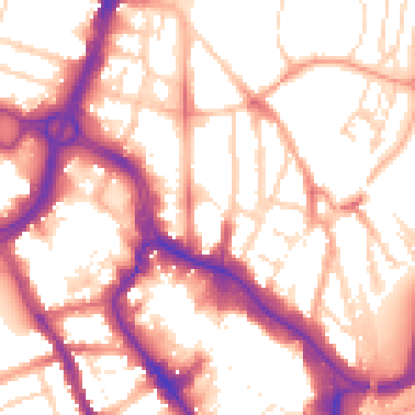
Daytime· 07:00 – 23:00
56.1dB

Night-time· 23:00 – 07:00
46.6dB