2 Carlton Street, Stockton Heath, Warrington, WA4 6LX
About 2 Carlton Street
2 Carlton Street is a four-bedroom detached house in Stockton Heath, Warrington, Warrington (WA4 6LX). It has a recorded floor area of 87 m² (around 941 sq ft) and council tax band F. The latest certificate (January 2009) returns a B (score 81), comfortably above the UK average. The latest certificate is from January 2009, so improvements made since then won't be reflected.
Untraded for 19 years, with the last transfer in March 2007. That sale landed at the peak of the pre-credit-crunch market, which is a useful reference point when interpreting the price. At 87 m² it's 21.9% smaller than the typical home in the postcode (112 m² median across 5 EPCs). On energy efficiency it sits in the top 10% of properties in this postcode. Today's modelled estimate of £357,000 sits 61.5% above the 2007 sale of £221,000. One historical planning record sits against the property in 2007.
What this property has
Inside
- Bedrooms4
- Dining roomYes
- EnsuiteYes
Outside
- Private gardenYes
Building
- RefurbishedYes
Everything you need to know about 2 Carlton Street
The true value, the hidden risks and the full sale history, in one report.
Pick your report · every report is £14.99
One time fee only - money back guarantee

The data behind every report


Energy performance
2 Carlton Street ranks among the most efficient homes in the postcode for energy use.
EPC Expired
This certificate is over 10 years old and is no longer valid.Expired 14 Jan 2019
EPC Rating
Get a survey for this property
Level 2 HomeBuyer Report
We've checked 10 risk factors against the available data for this property and believe a Level 2 HomeBuyer Report could be a suitable option for you.
From £595 · Includes VAT
Planning history
1 application on record at 2 Carlton Street, Stockton Heath, Warrington, WA4 6LX
- Sept 2007Demolition And RebuildFullOutcome in report
Proposed demolition of existing dwelling and erection of replacement dwelling
- Reference
- 2007/11075
Unlock 2 Carlton Street, Stockton Heath, Warrington, WA4 6LX's full planning history
You're seeing the shape of it. The report has the substance.
- Every decision — granted, refused or withdrawn
- All 1 application on this property in full
- What the pattern means for extending or converting here
One time fee only - money back guarantee
Sales history & valuation
The latest sale landed at the peak of the pre-credit-crunch market — a high-water reference point.
£357,000
Modelled from EPC, postcode comparables.
£221,000
Recorded with HM Land Registry.
Sales timeline
22 March 2007Most recent
£221,000
Median price across the last 5 sales in WA4 6LX: £320,000 (2020–2009).
Nearby sales in WA4 6LX
Versus other Carlton Street homes
On years held, 2 Carlton Street stands well clear of the street.
Price per m²
£2,528
Street avg £2,761
Floor Area
87 m²
Street avg 117 m²
CO₂ Emissions
3.2 t/year
Street avg 6.0 t/year
Years Held
19 years
Street avg 13 years
Everything you need to know about 2 Carlton Street
The true value, the hidden risks and the full sale history, in one report.
Pick your report · every report is £14.99
One time fee only - money back guarantee
The data behind every report
Similar properties nearby
1 Bramley Mews, Stockton Heath
WA4 6PR
1 Carlton Street, Stockton Heath
WA4 6LX
1 Belvoir Road, Walton
WA4 6PE
1 Carlingford Road, Stockton Heath
WA4 6SA
1 Cambridge Close, Stockton Heath
WA4 6SF
1 Brackley Street, Stockton Heath
WA4 6DY
1 Calderfield Close, Stockton Heath
WA4 6PJ
1 Chelford Close, Stockton Heath
WA4 6PL
The neighbourhood at a glance
Crime
2/mo
Steady year-on-year across the wider district.
Nearest stop
0.1 km
Carlton Street — bus stop.
Closest school
0.3 km
Stockton Heath Primary School. 19 schools nearby.
Go deeper on the local area
A Local Area report breaks down crime, transport links, schools and air quality in depth.
Road noise across the postcode
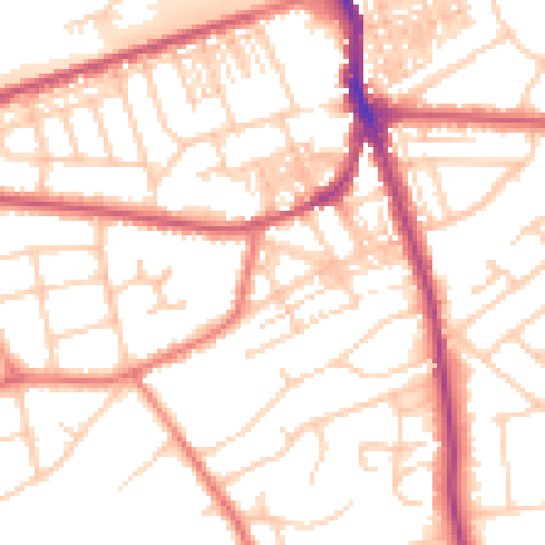
Daytime· 07:00 – 23:00
53.0dB

Night-time· 23:00 – 07:00
42.4dB