374 Thelwall Lane, Warrington, WA4 1NJ
About 374 Thelwall Lane
374 Thelwall Lane is a three-bedroom mid-terrace house in Warrington (WA4 1NJ). It has a recorded floor area of 100 m² (around 1076 sq ft). The latest certificate (February 2014) shows a C (score 79), near the top of the C band. The recommended improvements would push it to B (score 81). The latest certificate is from February 2014, so improvements made since then won't be reflected. Other recorded features include a conservatory.
At 100 m² it's 19% larger than the typical home in the postcode (84 m² median across 42 EPCs). Across 2014–2023, sale prices on this property compounded at 4.3% per year. On a £-per-square-foot basis, the last sale (£232/sq ft) was about 40.3% above the typical sold price in the postcode. Sold May 2023 for £250,000.
What this property has
Inside
- Bedrooms3
- Bathrooms2
- CloakroomYes
- EnsuiteYes
- StudyYes
- ConservatoryYes
Outside
- Private gardenSouth-west-facing
- DrivewayYes
Building
- RefurbishedYes
Everything you need to know about 374 Thelwall Lane
The true value, the hidden risks and the full sale history, in one report.
Pick your report · every report is £14.99
One time fee only - money back guarantee

The data behind every report


Energy performance
374 Thelwall Lane's EPC is over a decade old — improvements since won't be reflected.
EPC Expired
This certificate is over 10 years old and is no longer valid.Expired 21 Feb 2024
EPC Rating
Get a survey for this property
Level 2 HomeBuyer Report
We've checked 10 risk factors against the available data for this property and believe a Level 2 HomeBuyer Report could be a suitable option for you.
From £545 · Includes VAT
Planning history
374 Thelwall Lane has no planning applications on record.
A planning report still maps activity across the surrounding area and reads this property's extension & conversion potential.
Sales history & valuation
374 Thelwall Lane saw 3 transfers in just over a decade — high turnover for the postcode.
£261,000
Modelled from EPC, postcode comparables and a sale-price growth of 4.3% per year over 9 years.
£250,000
Growth on file: 4.3% per year over 9 years.
Sales timeline
14 May 2023Most recent
£250,000
+35.1%over 3 years12 September 2019
£185,000
+8.8%over 5 years14 March 2014
£170,000
Median price across the last 5 sales in WA4 1NJ: £235,000 (2025–2023).
Nearby sales in WA4 1NJ
Versus other Thelwall Lane homes
374 Thelwall Lane outperforms the street on epc rating by a wide margin.
Price per m²
£2,500
Street avg £1,891
Floor Area
100 m²
Street avg 88 m²
CO₂ Emissions
2.1 t/year
Street avg 3.0 t/year
Years Held
3 years
Street avg 7 years
Everything you need to know about 374 Thelwall Lane
The true value, the hidden risks and the full sale history, in one report.
Pick your report · every report is £14.99
One time fee only - money back guarantee
The data behind every report
Similar properties nearby
1 Cedar Grove
WA4 1EJ
1 Broadbent Avenue
WA4 1PX
1 Blackley Close, Latchford
WA4 1JA
1 Brindley Avenue
WA4 1RU
1 Beech Grove
WA4 1EG
1 Bridge Avenue
WA4 1RJ
1 Charlton Street
WA4 1LX
1 Brook Avenue
WA4 1SW
The neighbourhood at a glance
Crime
2/mo
Steady year-on-year across the wider district.
Nearest stop
0.2 km
Nook Lane — bus stop.
Closest school
0.5 km
Bradshaw Primary School. 28 schools nearby.
Go deeper on the local area
A Local Area report breaks down crime, transport links, schools and air quality in depth.
Road noise across the postcode
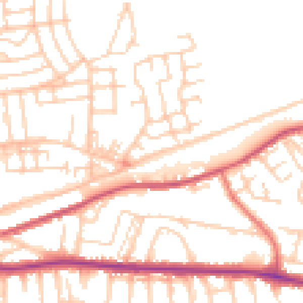
Daytime· 07:00 – 23:00
51.6dB

Night-time· 23:00 – 07:00
42.1dB