468 Knutsford Road, Warrington, WA4 1DX
About 468 Knutsford Road
468 Knutsford Road is a mid-terrace house in Warrington (WA4 1DX). It has a recorded floor area of 107 m² (around 1149 sq ft), construction records dating it to 1900-1929 and council tax band B. The latest certificate (July 2011) shows a D (score 59), a step below the typical UK home. The latest certificate is from July 2011, so improvements made since then won't be reflected.
Untraded for 28 years, with the last transfer in December 1997. Only one transfer is on record with HM Land Registry, suggesting it has stayed in the same hands for a long time. Today's modelled estimate of £177,000 sits 608% above the 1997 sale of £25,000. On a £-per-square-foot basis, the last sale (£22/sq ft) was about 80.3% below the postcode norm.
Everything you need to know about 468 Knutsford Road
The true value, the hidden risks and the full sale history, in one report.
Pick your report · every report is £14.99
One time fee only - money back guarantee

The data behind every report


Energy performance
468 Knutsford Road's EPC is over a decade old — improvements since won't be reflected.
EPC Expired
This certificate is over 10 years old and is no longer valid.Expired 13 Jul 2021
EPC Rating
Get a survey for this property
Level 3 Building Survey
Because the property was built before 1919, has been extended more than once, and has solid (non-cavity) walls, we believe a Level 3 building survey should be considered.
From £820 · Includes VAT
Planning history
468 Knutsford Road has no planning applications on record.
A planning report still maps activity across the surrounding area and reads this property's extension & conversion potential.
Sales history & valuation
468 Knutsford Road's modelled value sits at over four times its earliest registered sale price (1997).
£177,000
Modelled from EPC, postcode comparables.
£25,000
Recorded with HM Land Registry.
Sales timeline
12 December 1997Most recent
£25,000
Median price across the last 5 sales in WA4 1DX: £124,000 (2025–2019).
Nearby sales in WA4 1DX
484 Knutsford Road, Warrington, WA4 1DX
Sold Nov 2025
£290,000476 Knutsford Road, Warrington, WA4 1DX
Sold Nov 2022
£200,000500a, Knutsford Road, Warrington, WA4 1DX
Sold Oct 2022
£75,000500b, Knutsford Road, Warrington, WA4 1DX
Sold Oct 2022
£75,000458 Knutsford Road, Warrington, WA4 1DX
Sold Oct 2019
£124,000
Versus other Knutsford Road homes
Price per m² for 468 Knutsford Road lags the street by a wide margin.
Price per m²
£234
Street avg £1,532
Floor Area
107 m²
Street avg 95 m²
Habitable Rooms
4 rooms
Street avg 4 rooms
CO₂ Emissions
5.1 t/year
Street avg 5.9 t/year
Everything you need to know about 468 Knutsford Road
The true value, the hidden risks and the full sale history, in one report.
Pick your report · every report is £14.99
One time fee only - money back guarantee
The data behind every report
Similar properties nearby
The neighbourhood at a glance
Crime
2/mo
Steady year-on-year across the wider district.
Nearest stop
0.1 km
Park Avenue — bus stop.
Closest school
0.3 km
Our Lady's Catholic Primary School, a Voluntary Academy. 33 schools nearby.
Go deeper on the local area
A Local Area report breaks down crime, transport links, schools and air quality in depth.
Road noise across the postcode
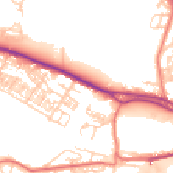
Daytime· 07:00 – 23:00
52.6dB

Night-time· 23:00 – 07:00
43.2dB