6 Elm Road, Rixton, Warrington, WA3 6LP
About 6 Elm Road
6 Elm Road is a three-bedroom semi-detached house in Rixton, Warrington, Warrington (WA3 6LP). It has a recorded floor area of 76 m² (around 818 sq ft), construction records dating it to 1950-1966 and council tax band B. The latest certificate (May 2025) shows a D (score 66), on the cusp of jumping into the C band. When first surveyed in November 2013 the rating was E, the property has climbed 1 band since. Between certificates, roof efficiency went from Average to Very Good, window efficiency went from Average to Good and lighting went from Average to Very Good. The recommended improvements would lift it to B (score 86), a 2-band jump. Our model identifies extension potential, subject to local planning policy.
Across 1997–2017, sale prices on this property compounded at 6.4% per year. Today's modelled estimate of £272,000 sits 62.4% above the 2017 sale of £167,500. On a £-per-square-foot basis, the last sale (£205/sq ft) was about 44.9% above the typical sold price in the postcode. On the market in September 2017 and unlisted since — roughly 9 years. At 76 m² it's 23.6% smaller than the typical home in the postcode (100 m² median across 14 EPCs).
What this property has
Inside
- Bedrooms3
- Bathrooms1
Outside
- Private gardenYes
- DrivewayYes
Building
- Heating systemGas
- RefurbishedYes
- Extension potentialPossible
Everything you need to know about 6 Elm Road
The true value, the hidden risks and the full sale history, in one report.
Pick your report · every report is £14.99
One time fee only - money back guarantee

The data behind every report


Energy performance
Recommended upgrades on file would lift this property by multiple EPC bands.
EPC Rating
Property Improvements
Changes detected from historical EPC data
Window efficiency improved
Loft insulation upgraded to recommended levels
More low energy lighting installed
Get a survey for this property
Level 2 HomeBuyer Report
We've checked 10 risk factors against the available data for this property and believe a Level 2 HomeBuyer Report could be a suitable option for you.
From £545 · Includes VAT
Planning history
6 Elm Road has no planning applications on record.
A planning report still maps activity across the surrounding area and reads this property's extension & conversion potential.
Sales history & valuation
6 Elm Road has more than tripled in price since its earliest registered sale in 1997.
£272,000
Modelled from EPC, postcode comparables and a sale-price growth of 6.4% per year over 20 years.
£167,500
Growth on file: 6.4% per year over 20 years.
Sales timeline
28 September 2017Most recent
£167,500
+249.0%over 20 years17 July 1997
£48,000
Median price across the last 5 sales in WA3 6LP: £270,000 (2025–2020).
Nearby sales in WA3 6LP
18 Elm Road, Rixton, Warrington, WA3 6LP
Sold May 2025
£307,0008 Elm Road, Rixton, Warrington, WA3 6LP
Sold Oct 2024
£270,0002 Elm Road, Rixton, Warrington, WA3 6LP
Sold May 2020
£222,5004 Elm Road, Rixton, Warrington, WA3 6LP
Sold Apr 2018
£180,0001 Elm Road, Rixton, Warrington, WA3 6LP
Sold Oct 2017
£247,500
Versus other Elm Road homes
6 Elm Road outperforms the street on co₂ emissions by a wide margin.
Price per m²
£2,204
Street avg £2,062
Floor Area
76 m²
Street avg 100 m²
Habitable Rooms
5 rooms
Street avg 5 rooms
CO₂ Emissions
3.2 t/year
Street avg 5.2 t/year
Everything you need to know about 6 Elm Road
The true value, the hidden risks and the full sale history, in one report.
Pick your report · every report is £14.99
One time fee only - money back guarantee
The data behind every report
Similar properties nearby
1 Bramshill Close, Birchwood
WA3 6TY
1 Colebrooke Close, Birchwood
WA3 6RY
1 Dove Close, Birchwood
WA3 6QH
1 Barham Court, Birchwood
WA3 6ND
1 Armstrong Close, Birchwood
WA3 6DH
1 Bowland Close, Birchwood
WA3 6TJ
1 Burrough Close, Birchwood
WA3 6QF
1 Carden Close, Birchwood
WA3 6LT
The neighbourhood at a glance
Crime
1/mo
Steady year-on-year across the wider district.
Nearest stop
0.1 km
School Lane — bus stop.
Closest school
0.2 km
St Helen's Church of England Primary School. 7 schools nearby.
Go deeper on the local area
A Local Area report breaks down crime, transport links, schools and air quality in depth.
Road noise across the postcode
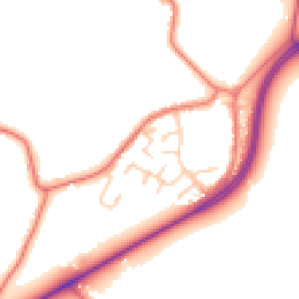
Daytime· 07:00 – 23:00
50.4dB

Night-time· 23:00 – 07:00
42.9dB