17 Broughton Avenue, Lowton, Warrington, WA3 2PU
About 17 Broughton Avenue
17 Broughton Avenue is a two-bedroom semi-detached house in Lowton, Warrington, Warrington (WA3 2PU). It has a recorded floor area of 56 m² (around 603 sq ft), construction records dating it to 1950-1966 and council tax band B. The latest certificate (June 2016) shows a D (score 62), on the cusp of jumping into the C band. When first surveyed in February 2012 the rating was E, the property has climbed 1 band since. Between certificates, hot-water efficiency went from Poor to Good and lighting went from Very Poor to Average; while wall efficiency dropped from Good to Poor. The recommended improvements would lift it to B (score 86), a 2-band jump. The latest certificate is from June 2016, so improvements made since then won't be reflected.
Across 2012–2021, sale prices on this property compounded at -5.3% per year. Today's modelled estimate of £180,000 sits 125% above the 2021 sale of £80,000. At 56 m² it sits well below the postcode median (98 m² across 7 EPCs), making it one of the more compact homes locally. Last sale on file: £80,000 in November 2021. That sale was during the post-pandemic price surge, when transactions cleared materially above pre-2020 trend.
What this property has
Inside
- Bedrooms2
- Bathrooms1
- Open-plan layoutYes
Outside
- Private gardenYes
Everything you need to know about 17 Broughton Avenue
The true value, the hidden risks and the full sale history, in one report.
Pick your report · every report is £14.99
One time fee only - money back guarantee

The data behind every report


Energy performance
Recommended upgrades on file would lift this property by multiple EPC bands.
EPC Expired
This certificate is over 10 years old and is no longer valid.Expired 05 Jun 2026
EPC Rating
Property Improvements
Changes detected from historical EPC data
Heating controls upgraded for better temperature management
Hot water system upgraded
More low energy lighting installed
Get a survey for this property
Level 2 HomeBuyer Report
We've checked 10 risk factors against the available data for this property and believe a Level 2 HomeBuyer Report could be a suitable option for you.
From £495 · Includes VAT
Planning history
17 Broughton Avenue has no planning applications on record.
A planning report still maps activity across the surrounding area and reads this property's extension & conversion potential.
Sales history & valuation
17 Broughton Avenue saw 3 transfers in just over a decade — high turnover for the postcode.
£180,000
Modelled from EPC, postcode comparables and a sale-price growth of -5.3% per year over 9 years.
£80,000
Growth on file: -5.3% per year over 9 years.
Sales timeline
5 November 2021Most recent
£80,000
-42.9%over 5 years4 November 2016
£140,000
+5.3%over 4 years10 June 2012
£133,000
Median price across the last 5 sales in WA3 2PU: £179,995 (2021–2014).
Nearby sales in WA3 2PU
15 Broughton Avenue, Lowton, Warrington, WA3 2PU
Sold Nov 2021
£180,00013 Broughton Avenue, Lowton, Warrington, WA3 2PU
Sold Jun 2021
£222,50023 Broughton Avenue, Lowton, Warrington, WA3 2PU
Sold Jul 2017
£123,50011 Broughton Avenue, Lowton, Warrington, WA3 2PU
Sold Sept 2014
£179,99519 Broughton Avenue, Lowton, Warrington, WA3 2PU
Sold Jun 2014
£133,000
Versus other Broughton Avenue homes
On price per m², 17 Broughton Avenue runs well behind the street norm.
Price per m²
£1,429
Street avg £2,288
Floor Area
56 m²
Street avg 95 m²
Habitable Rooms
3 rooms
Street avg 5 rooms
CO₂ Emissions
3.0 t/year
Street avg 4.8 t/year
Everything you need to know about 17 Broughton Avenue
The true value, the hidden risks and the full sale history, in one report.
Pick your report · every report is £14.99
One time fee only - money back guarantee
The data behind every report
Similar properties nearby
1 Burnfell, Lowton
WA3 2QW
1 Beech Avenue, Lowton
WA3 2BZ
1 Bourne Avenue, Lowton
WA3 2QB
1 Ballantyne Way, Lowton
WA3 2LS
1 Bainbridge Avenue, Lowton
WA3 2DJ
1 Birch Tree Road, Lowton
WA3 2NA
1 Alder Road, Lowton
WA3 2LZ
1 Amis Grove, Lowton
WA3 2LL
The neighbourhood at a glance
Crime
1/mo
Steady year-on-year across the wider district.
Nearest stop
0.2 km
St Luke's Primary School — bus stop.
Closest school
0.1 km
St Luke's CofE Primary School. 11 schools nearby.
Go deeper on the local area
A Local Area report breaks down crime, transport links, schools and air quality in depth.
Road noise across the postcode
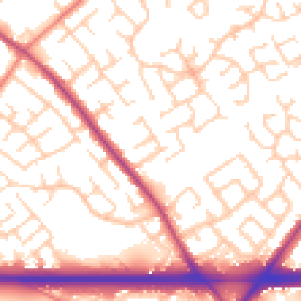
Daytime· 07:00 – 23:00
54.4dB

Night-time· 23:00 – 07:00
45.2dB