17 Cotswold Avenue, Lowton, Warrington, WA3 1HW
About 17 Cotswold Avenue
17 Cotswold Avenue is a three-bedroom semi-detached house in Lowton, Warrington, Warrington (WA3 1HW). It has a recorded floor area of 106 m² (around 1141 sq ft), construction records dating it to 1930-1949 and council tax band C. The latest certificate (May 2014) shows a D (score 68), on the cusp of jumping into the C band. The recommended improvements would lift it to B (score 84), a 2-band jump. The latest certificate is from May 2014, so improvements made since then won't be reflected.
Today's modelled estimate of £305,000 sits 66.7% above the 2014 sale of £183,000. On a £-per-square-foot basis, the last sale (£160/sq ft) was about 17.7% below the postcode norm. On the market in September 2014 and unlisted since — roughly 12 years.
What this property has
Inside
- Bedrooms3
Everything you need to know about 17 Cotswold Avenue
The true value, the hidden risks and the full sale history, in one report.
Pick your report · every report is £14.99
One time fee only - money back guarantee

The data behind every report


Energy performance
Recommended upgrades on file would lift this property by multiple EPC bands.
EPC Expired
This certificate is over 10 years old and is no longer valid.Expired 14 May 2024
EPC Rating
Get a survey for this property
Level 2 HomeBuyer Report
We've checked 10 risk factors against the available data for this property and believe a Level 2 HomeBuyer Report could be a suitable option for you.
From £595 · Includes VAT
Planning history
17 Cotswold Avenue has no planning applications on record.
A planning report still maps activity across the surrounding area and reads this property's extension & conversion potential.
Sales history & valuation
17 Cotswold Avenue valuation sits well clear of the typical sold price in this postcode.
£305,000
Modelled from EPC, postcode comparables.
£183,000
Recorded with HM Land Registry.
Sales timeline
11 September 2014Most recent
£183,000
Median price across the last 5 sales in WA3 1HW: £299,995 (2024–2021).
Nearby sales in WA3 1HW
38 Cotswold Avenue, Lowton, Warrington, WA3 1HW
Sold Dec 2024
£380,00016 Cotswold Avenue, Lowton, Warrington, WA3 1HW
Sold Nov 2022
£375,00019 Cotswold Avenue, Lowton, Warrington, WA3 1HW
Sold Nov 2022
£299,99518 Cotswold Avenue, Lowton, Warrington, WA3 1HW
Sold Oct 2022
£291,0001 Cotswold Avenue, Lowton, Warrington, WA3 1HW
Sold Jun 2021
£220
Versus other Cotswold Avenue homes
Years Held for 17 Cotswold Avenue runs comfortably ahead of the street norm.
Price per m²
£1,726
Street avg £2,338
Floor Area
106 m²
Street avg 116 m²
Habitable Rooms
4 rooms
Street avg 5 rooms
CO₂ Emissions
3.8 t/year
Street avg 4.7 t/year
Everything you need to know about 17 Cotswold Avenue
The true value, the hidden risks and the full sale history, in one report.
Pick your report · every report is £14.99
One time fee only - money back guarantee
The data behind every report
Similar properties nearby
1 Glastonbury Avenue, Lowton
WA3 1ET
1 Crompton Way, Lowton
WA3 1FS
1 Kirkham Avenue, Lowton
WA3 1LL
1 Adwell Close, Lowton
WA3 1DE
1 Clayhill Grove, Lowton
WA3 1FZ
1 Heathmoor Avenue, Lowton
WA3 1HP
1 Bodden Street, Lowton
WA3 1DX
1 Cotswold Gardens, Lowton
WA3 1FT
The neighbourhood at a glance
Crime
1/mo
Steady year-on-year across the wider district.
Nearest stop
0.2 km
Fulwood Road — bus stop.
Closest school
0.5 km
St Luke's CofE Primary School. 11 schools nearby.
Go deeper on the local area
A Local Area report breaks down crime, transport links, schools and air quality in depth.
Road noise across the postcode
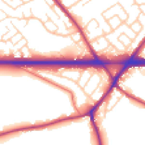
Daytime· 07:00 – 23:00
55.4dB

Night-time· 23:00 – 07:00
48.3dB