19 Alfred Road, Lowton, Warrington, WA3 1EA
About 19 Alfred Road
19 Alfred Road is a mid-terrace house in Lowton, Warrington, Warrington (WA3 1EA). It has a recorded floor area of 76 m² (around 818 sq ft), construction records dating it to 1930-1949 and council tax band A. The latest certificate (September 2023) shows a D (score 68), on the cusp of jumping into the C band. The recommended improvements would lift it to B (score 90), a 2-band jump.
Everything you need to know about 19 Alfred Road
The true value, the hidden risks and the full sale history, in one report.
Pick your report · every report is £14.99
One time fee only - money back guarantee

The data behind every report


Energy performance
Recommended upgrades on file would lift this property by multiple EPC bands.
EPC Rating
Get a survey for this property
Level 3 Building Survey
Because the property has solid (non-cavity) walls, we believe a Level 3 building survey should be considered.
From £820 · Includes VAT
Planning history
19 Alfred Road has no planning applications on record.
A planning report still maps activity across the surrounding area and reads this property's extension & conversion potential.
Sales history & valuation
19 Alfred Road has no Land Registry sales on file, suggesting it has stayed in the same hands since registration began.
£173,000
Modelled from EPC, postcode comparables.
No sales recorded with HM Land Registry
That can mean the property has never traded since the registry began publishing in 1995, was a new build that hasn't been registered yet, or is held in the same hands long-term.
Median price across the last 5 sales in WA3 1EA: £123,000 (2024–2017).
Nearby sales in WA3 1EA
45 Alfred Road, Lowton, Warrington, WA3 1EA
Sold Aug 2024
£198,00023 Alfred Road, Lowton, Warrington, WA3 1EA
Sold Oct 2022
£123,00039 Alfred Road, Lowton, Warrington, WA3 1EA
Sold Mar 2021
£185,0003 Alfred Road, Lowton, Warrington, WA3 1EA
Sold Jul 2018
£88,00017 Alfred Road, Lowton, Warrington, WA3 1EA
Sold Jun 2016
£109,000
Versus other Alfred Road homes
EPC Rating
68 (D)
Street avg 64 (D)
Floor Area
76 m²
Street avg 78 m²
CO₂ Emissions
3.1 t/year
Street avg 3.3 t/year
Habitable Rooms
5 rooms
Street avg 5 rooms
Everything you need to know about 19 Alfred Road
The true value, the hidden risks and the full sale history, in one report.
Pick your report · every report is £14.99
One time fee only - money back guarantee
The data behind every report
Similar properties nearby
1 Gregory Row, Lowton
WA3 1DJ
1 Chapel Terrace, Lowton
WA3 1EF
1 Kay Gardens, Lowton
WA3 1AG
1 Carr Lane, Lowton
WA3 1AF
1 Bodden Street, Lowton
WA3 1DX
1 Carr Green, Lowton
WA3 1EQ
1 Kane Court, Sandy Lane, Lowton
WA3 1DA
1 Heathmoor Avenue, Lowton
WA3 1HP
The neighbourhood at a glance
Daytime road noise here sits well below conversation level — a quiet pocket of the postcode.
Crime
1/mo
Steady year-on-year across the wider district.
Nearest stop
0.2 km
Morgans Way — bus stop.
Closest school
0.1 km
Lowton St Mary's CofE (Voluntary Aided) Primary School. 13 schools nearby.
Go deeper on the local area
A Local Area report breaks down crime, transport links, schools and air quality in depth.
Road noise across the postcode
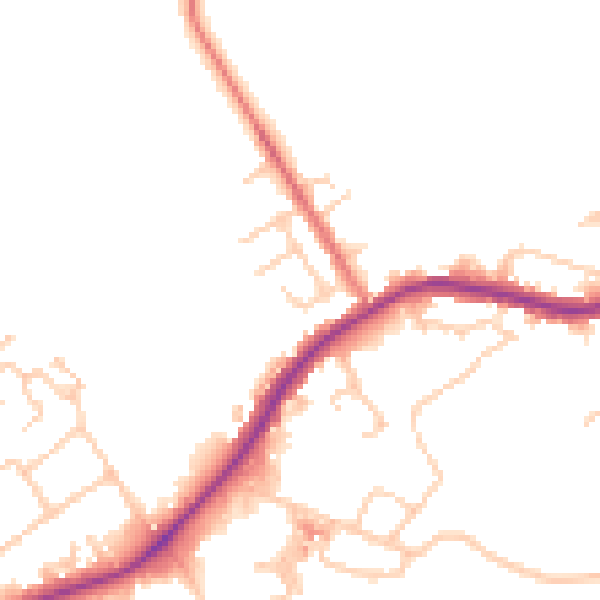
Daytime· 07:00 – 23:00
48.6dB

Night-time· 23:00 – 07:00
42.4dB