10 Alfred Road, Lowton, Warrington, WA3 1EA
About 10 Alfred Road
10 Alfred Road is a three-bedroom semi-detached house in Lowton, Warrington, Warrington (WA3 1EA). It has a recorded floor area of 76 m² (around 818 sq ft), construction records dating it to 1983-1990 and council tax band B. The latest certificate (June 2025) shows a C (score 71). When first surveyed in July 2014 the rating was D, the property has climbed 1 band since. Between certificates, roof efficiency went from Poor to Very Good, window efficiency went from Very Poor to Average and lighting went from Average to Good.
Untraded for 20 years, with the last transfer in February 2006. Today's modelled estimate of £208,000 sits 74.8% above the 2006 sale of £119,000. Its energy rating outperforms most of the postcode (better than 82% of similar EPCs).
What this property has
Inside
- Bedrooms3
- Bathrooms1
- Dining roomYes
Outside
- Private gardenRear
- DrivewayYes
Everything you need to know about 10 Alfred Road
The true value, the hidden risks and the full sale history, in one report.
Pick your report · every report is £14.99
One time fee only - money back guarantee

The data behind every report


Energy performance
EPC Rating
Property Improvements
Changes detected from historical EPC data
Heating controls upgraded for better temperature management
Single glazing replaced with double or better glazing
Loft insulation upgraded to recommended levels
More low energy lighting installed
Get a survey for this property
Level 2 HomeBuyer Report
We've checked 10 risk factors against the available data for this property and believe a Level 2 HomeBuyer Report could be a suitable option for you.
From £545 · Includes VAT
Planning history
10 Alfred Road has no planning applications on record.
A planning report still maps activity across the surrounding area and reads this property's extension & conversion potential.
Sales history & valuation
10 Alfred Road valuation sits well clear of the typical sold price in this postcode.
£208,000
Modelled from EPC, postcode comparables.
£119,000
Recorded with HM Land Registry.
Sales timeline
24 February 2006Most recent
£119,000
Median price across the last 5 sales in WA3 1EA: £123,000 (2024–2017).
Nearby sales in WA3 1EA
45 Alfred Road, Lowton, Warrington, WA3 1EA
Sold Aug 2024
£198,00023 Alfred Road, Lowton, Warrington, WA3 1EA
Sold Oct 2022
£123,00039 Alfred Road, Lowton, Warrington, WA3 1EA
Sold Mar 2021
£185,0003 Alfred Road, Lowton, Warrington, WA3 1EA
Sold Jul 2018
£88,00017 Alfred Road, Lowton, Warrington, WA3 1EA
Sold Jun 2016
£109,000
Versus other Alfred Road homes
10 Alfred Road outperforms the street on co₂ emissions by a wide margin.
Price per m²
£1,566
Street avg £1,537
Floor Area
76 m²
Street avg 78 m²
Habitable Rooms
5 rooms
Street avg 5 rooms
CO₂ Emissions
2.1 t/year
Street avg 3.4 t/year
Everything you need to know about 10 Alfred Road
The true value, the hidden risks and the full sale history, in one report.
Pick your report · every report is £14.99
One time fee only - money back guarantee
The data behind every report
Similar properties nearby
1 Bodden Street, Lowton
WA3 1DX
1 Heathmoor Avenue, Lowton
WA3 1HP
1 Clayhill Grove, Lowton
WA3 1FZ
1 Adwell Close, Lowton
WA3 1DE
1 Kirkham Avenue, Lowton
WA3 1LL
1 Glastonbury Avenue, Lowton
WA3 1ET
1 Crompton Way, Lowton
WA3 1FS
1 Chapel Terrace, Lowton
WA3 1EF
The neighbourhood at a glance
Daytime road noise here sits well below conversation level — a quiet pocket of the postcode.
Crime
1/mo
Steady year-on-year across the wider district.
Nearest stop
0.2 km
Morgans Way — bus stop.
Closest school
0.1 km
Lowton St Mary's CofE (Voluntary Aided) Primary School. 13 schools nearby.
Go deeper on the local area
A Local Area report breaks down crime, transport links, schools and air quality in depth.
Road noise across the postcode
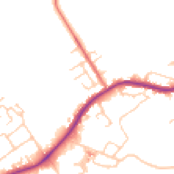
Daytime· 07:00 – 23:00
48.6dB

Night-time· 23:00 – 07:00
42.4dB