18 Bodden Street, Lowton, Warrington, WA3 1DX
About 18 Bodden Street
18 Bodden Street is a two-bedroom mid-terrace house in Lowton, Warrington, Warrington (WA3 1DX). It has a recorded floor area of 69 m² (around 743 sq ft), construction records dating it to 1900-1929 and council tax band A. The latest certificate (June 2015) shows a C (score 72). The rating has held steady at C across 3 certificates since March 2009. Between certificates, lighting went from Very Poor to Average; while main heating dropped from Very Good to Good. The recommended improvements would push it to B (score 90). The latest certificate is from June 2015, so improvements made since then won't be reflected. Other recorded features include notable views.
Across 2010–2016, sale prices on this property compounded at -1.3% per year. Today's modelled estimate of £154,000 sits 83.3% above the 2016 sale of £84,000. Its energy rating outperforms most of the postcode (better than 72% of similar EPCs). On the market in March 2016 and unlisted since — roughly 10 years.
What this property has
Inside
- Bedrooms2
- Open-plan layoutYes
- Dining roomYes
Outside
- Private gardenFront
- Notable viewsYes
Everything you need to know about 18 Bodden Street
The true value, the hidden risks and the full sale history, in one report.
Pick your report · every report is £14.99
One time fee only - money back guarantee

The data behind every report


Energy performance
18 Bodden Street's EPC is over a decade old — improvements since won't be reflected.
EPC Expired
This certificate is over 10 years old and is no longer valid.Expired 02 Jun 2025
EPC Rating
Property Improvements
Changes detected from historical EPC data
Heating controls upgraded for better temperature management
More low energy lighting installed
Low energy lighting percentage decreased
Get a survey for this property
Level 3 Building Survey
Because the property was built before 1919, we believe a Level 3 building survey should be considered.
From £820 · Includes VAT
Planning history
18 Bodden Street has no planning applications on record.
A planning report still maps activity across the surrounding area and reads this property's extension & conversion potential.
Sales history & valuation
18 Bodden Street valuation sits well clear of the typical sold price in this postcode.
£154,000
Modelled from EPC, postcode comparables and a sale-price growth of -1.3% per year over 5 years.
£84,000
Growth on file: -1.3% per year over 5 years.
Sales timeline
4 March 2016Most recent
£84,000
-6.7%over 5 years16 September 2010
£90,000
Median price across the last 5 sales in WA3 1DX: £139,950 (2024–2022).
Nearby sales in WA3 1DX
1 Bodden Street, Lowton, Warrington, WA3 1DX
Sold Feb 2024
£169,99522 Bodden Street, Lowton, Warrington, WA3 1DX
Sold Nov 2023
£145,00042 Bodden Street, Lowton, Warrington, WA3 1DX
Sold Jun 2023
£115,00015 Bodden Street, Lowton, Warrington, WA3 1DX
Sold Jul 2022
£129,00032 Bodden Street, Lowton, Warrington, WA3 1DX
Sold Mar 2022
£139,950
Versus other Bodden Street homes
18 Bodden Street outperforms the street on epc rating by a wide margin.
Price per m²
£1,217
Street avg £1,378
Floor Area
69 m²
Street avg 72 m²
Habitable Rooms
4 rooms
Street avg 4 rooms
CO₂ Emissions
2.3 t/year
Street avg 3.1 t/year
Everything you need to know about 18 Bodden Street
The true value, the hidden risks and the full sale history, in one report.
Pick your report · every report is £14.99
One time fee only - money back guarantee
The data behind every report
Similar properties nearby
1 Carr Lane, Lowton
WA3 1AF
1 Chapel Terrace, Lowton
WA3 1EF
1 Bodden Street, Lowton
WA3 1DX
1 Heathmoor Avenue, Lowton
WA3 1HP
1 Clayhill Grove, Lowton
WA3 1FZ
1 Adwell Close, Lowton
WA3 1DE
1 Kirkham Avenue, Lowton
WA3 1LL
1 Glastonbury Avenue, Lowton
WA3 1ET
The neighbourhood at a glance
Daytime road noise here sits well below conversation level — a quiet pocket of the postcode.
Crime
1/mo
Steady year-on-year across the wider district.
Nearest stop
0.3 km
Sandy Lane — bus stop.
Closest school
0.3 km
Lowton St Mary's CofE (Voluntary Aided) Primary School. 13 schools nearby.
Go deeper on the local area
A Local Area report breaks down crime, transport links, schools and air quality in depth.
Road noise across the postcode
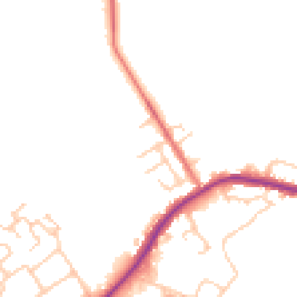
Daytime· 07:00 – 23:00
47.1dB

Night-time· 23:00 – 07:00
41.1dB