17 Thornton Close, Lowton, Warrington, WA3 1DW
About 17 Thornton Close
17 Thornton Close is an end-of-terrace house in Lowton, Warrington, Warrington (WA3 1DW). It has a recorded floor area of 69 m² (around 743 sq ft), construction records dating it to 1950-1966 and council tax band A. The latest certificate (May 2016) shows a D (score 61), on the cusp of jumping into the C band. When first surveyed in April 2016 the rating was E, the property has climbed 1 band since. The recommended improvements would lift it to B (score 83), a 2-band jump. The latest certificate is from May 2016, so improvements made since then won't be reflected.
Held since June 2002 — that's 24 years off the open market, well above the local norm. Across 1995–2002, sale prices on this property compounded at 10.6% per year. Today's modelled estimate of £177,000 sits 195.2% above the 2002 sale of £59,950. On a £-per-square-foot basis, the last sale (£81/sq ft) was about 34.8% below the postcode norm.
Everything you need to know about 17 Thornton Close
The true value, the hidden risks and the full sale history, in one report.
Pick your report · every report is £14.99
One time fee only - money back guarantee

The data behind every report


Energy performance
Recommended upgrades on file would lift this property by multiple EPC bands.
EPC Expired
This certificate is over 10 years old and is no longer valid.Expired 17 May 2026
EPC Rating
Property Improvements
Changes detected from historical EPC data
Get a survey for this property
Level 2 HomeBuyer Report
We've checked 10 risk factors against the available data for this property and believe a Level 2 HomeBuyer Report could be a suitable option for you.
From £495 · Includes VAT
Planning history
17 Thornton Close has no planning applications on record.
A planning report still maps activity across the surrounding area and reads this property's extension & conversion potential.
Sales history & valuation
17 Thornton Close's modelled value sits at over four times its earliest registered sale price (1995).
£177,000
Modelled from EPC, postcode comparables and a sale-price growth of 10.6% per year over 7 years.
£59,950
Growth on file: 10.6% per year over 7 years.
Sales timeline
6 June 2002Most recent
£59,950
+97.5%over 6 years24 August 1995
£30,350
Median price across the last 5 sales in WA3 1DW: £88,000 (2025–2020).
Nearby sales in WA3 1DW
11 Thornton Close, Lowton, Warrington, WA3 1DW
Sold Sept 2025
£185,0005 Thornton Close, Lowton, Warrington, WA3 1DW
Sold Feb 2025
£174,00013 Thornton Close, Lowton, Warrington, WA3 1DW
Sold Mar 2023
£65016 Thornton Close, Lowton, Warrington, WA3 1DW
Sold Mar 2022
£88,00010 Thornton Close, Lowton, Warrington, WA3 1DW
Sold Dec 2020
£82,500
Versus other Thornton Close homes
Years Held for 17 Thornton Close runs comfortably ahead of the street norm.
Price per m²
£869
Street avg £1,371
Floor Area
69 m²
Street avg 67 m²
Habitable Rooms
5 rooms
Street avg 4 rooms
CO₂ Emissions
3.7 t/year
Street avg 3.4 t/year
Everything you need to know about 17 Thornton Close
The true value, the hidden risks and the full sale history, in one report.
Pick your report · every report is £14.99
One time fee only - money back guarantee
The data behind every report
Similar properties nearby
1 Gregory Row, Lowton
WA3 1DJ
1 Kay Gardens, Lowton
WA3 1AG
1 Chapel Terrace, Lowton
WA3 1EF
1 Carr Lane, Lowton
WA3 1AF
1 Bodden Street, Lowton
WA3 1DX
1 Carr Green, Lowton
WA3 1EQ
1 Heathmoor Avenue, Lowton
WA3 1HP
1 Clayhill Grove, Lowton
WA3 1FZ
The neighbourhood at a glance
Daytime road noise here sits well below conversation level — a quiet pocket of the postcode.
Crime
1/mo
Steady year-on-year across the wider district.
Nearest stop
0.2 km
Sandy Lane — bus stop.
Closest school
0.3 km
Lowton St Mary's CofE (Voluntary Aided) Primary School. 13 schools nearby.
Go deeper on the local area
A Local Area report breaks down crime, transport links, schools and air quality in depth.
Road noise across the postcode
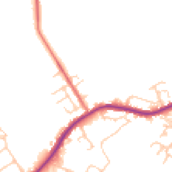
Daytime· 07:00 – 23:00
47.4dB

Night-time· 23:00 – 07:00
41.5dB