14 Thornton Close, Lowton, Warrington, WA3 1DW
About 14 Thornton Close
14 Thornton Close is a two-bedroom mid-terrace house in Lowton, Warrington, Warrington (WA3 1DW). It has a recorded floor area of 75 m² (around 807 sq ft), construction records dating it to 1967-1975 and council tax band A. The latest certificate (September 2016) shows a D (score 67), on the cusp of jumping into the C band. The recommended improvements would lift it to B (score 83), a 2-band jump.
Across 1998–2016, sale prices on this property compounded at 6.8% per year. Today's modelled estimate of £176,000 sits 53% above the 2016 sale of £115,000. On a £-per-square-foot basis, the last sale (£142/sq ft) was about 18.9% above the typical sold price in the postcode. On the market in November 2016 and unlisted since — roughly 10 years.
What this property has
Inside
- Bedrooms2
- Bathrooms1
Building
- Central heatingYes
- RefurbishedYes
Everything you need to know about 14 Thornton Close
The true value, the hidden risks and the full sale history, in one report.
Pick your report · every report is £14.99
One time fee only - money back guarantee

The data behind every report


Energy performance
Recommended upgrades on file would lift this property by multiple EPC bands.
EPC Rating
Get a survey for this property
Level 2 HomeBuyer Report
We've checked 10 risk factors against the available data for this property and believe a Level 2 HomeBuyer Report could be a suitable option for you.
From £495 · Includes VAT
Planning history
14 Thornton Close has no planning applications on record.
A planning report still maps activity across the surrounding area and reads this property's extension & conversion potential.
Sales history & valuation
14 Thornton Close has more than tripled in price since its earliest registered sale in 1998.
£176,000
Modelled from EPC, postcode comparables and a sale-price growth of 6.8% per year over 18 years.
£115,000
Growth on file: 6.8% per year over 18 years.
Sales timeline
25 November 2016Most recent
£115,000
+235.8%over 18 years18 June 1998
£34,250
Median price across the last 5 sales in WA3 1DW: £88,000 (2025–2020).
Nearby sales in WA3 1DW
11 Thornton Close, Lowton, Warrington, WA3 1DW
Sold Sept 2025
£185,0005 Thornton Close, Lowton, Warrington, WA3 1DW
Sold Feb 2025
£174,00013 Thornton Close, Lowton, Warrington, WA3 1DW
Sold Mar 2023
£65016 Thornton Close, Lowton, Warrington, WA3 1DW
Sold Mar 2022
£88,00010 Thornton Close, Lowton, Warrington, WA3 1DW
Sold Dec 2020
£82,500
Versus other Thornton Close homes
On floor area, 14 Thornton Close stands well clear of the street.
Price per m²
£1,533
Street avg £1,304
Floor Area
75 m²
Street avg 66 m²
Habitable Rooms
4 rooms
Street avg 4 rooms
CO₂ Emissions
3.0 t/year
Street avg 3.5 t/year
Everything you need to know about 14 Thornton Close
The true value, the hidden risks and the full sale history, in one report.
Pick your report · every report is £14.99
One time fee only - money back guarantee
The data behind every report
Similar properties nearby
1 Chapel Terrace, Lowton
WA3 1EF
1 Carr Lane, Lowton
WA3 1AF
1 Bodden Street, Lowton
WA3 1DX
1 Heathmoor Avenue, Lowton
WA3 1HP
1 Clayhill Grove, Lowton
WA3 1FZ
1 Adwell Close, Lowton
WA3 1DE
1 Kirkham Avenue, Lowton
WA3 1LL
1 Glastonbury Avenue, Lowton
WA3 1ET
The neighbourhood at a glance
Daytime road noise here sits well below conversation level — a quiet pocket of the postcode.
Crime
1/mo
Steady year-on-year across the wider district.
Nearest stop
0.2 km
Sandy Lane — bus stop.
Closest school
0.3 km
Lowton St Mary's CofE (Voluntary Aided) Primary School. 13 schools nearby.
Go deeper on the local area
A Local Area report breaks down crime, transport links, schools and air quality in depth.
Road noise across the postcode
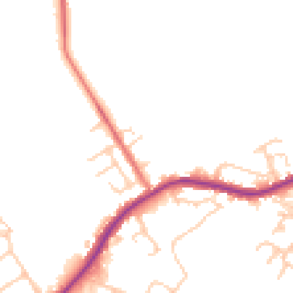
Daytime· 07:00 – 23:00
47.4dB

Night-time· 23:00 – 07:00
41.5dB