28 Sandy Lane, Lowton, Warrington, WA3 1DN
About 28 Sandy Lane
28 Sandy Lane is a mid-terrace house in Lowton, Warrington, Warrington (WA3 1DN). It has a recorded floor area of 69 m² (around 743 sq ft), construction records dating it to 1967-1975 and council tax band A. The latest certificate (June 2017) shows a D (score 55), a step below the typical UK home. The recommended improvements would lift it to B (score 86), a 2-band jump.
Across 2000–2018, sale prices on this property compounded at 6.4% per year. Today's modelled estimate of £169,000 sits 52.3% above the 2018 sale of £111,000. On a £-per-square-foot basis, the last sale (£149/sq ft) was about 21.1% above the typical sold price in the postcode. 8 years since the last transfer (January 2018).
Everything you need to know about 28 Sandy Lane
The true value, the hidden risks and the full sale history, in one report.
Pick your report · every report is £14.99
One time fee only - money back guarantee

The data behind every report


Energy performance
Recommended upgrades on file would lift this property by multiple EPC bands.
EPC Rating
Get a survey for this property
Level 2 HomeBuyer Report
We've checked 10 risk factors against the available data for this property and believe a Level 2 HomeBuyer Report could be a suitable option for you.
From £495 · Includes VAT
Planning history
28 Sandy Lane has no planning applications on record.
A planning report still maps activity across the surrounding area and reads this property's extension & conversion potential.
Sales history & valuation
Sale price has at least doubled since 2000.
£169,000
Modelled from EPC, postcode comparables and a sale-price growth of 6.4% per year over 17 years.
£111,000
Growth on file: 6.4% per year over 17 years.
Sales timeline
23 January 2018Most recent
£111,000
+192.1%over 17 years10 November 2000
£38,000
Median price across the last 5 sales in WA3 1DN: £120,000 (2025–2021).
Nearby sales in WA3 1DN
26 Sandy Lane, Lowton, Warrington, WA3 1DN
Sold Aug 2025
£159,99524 Sandy Lane, Lowton, Warrington, WA3 1DN
Sold Mar 2025
£169,99530 Sandy Lane, Lowton, Warrington, WA3 1DN
Sold Dec 2024
£120,00022 Sandy Lane, Lowton, Warrington, WA3 1DN
Sold Apr 2019
£125,00020 Sandy Lane, Lowton, Warrington, WA3 1DN
Sold Aug 2006
£88,000
Versus other Sandy Lane homes
28 Sandy Lane is notably below the street on co₂ emissions.
Price per m²
£1,609
Street avg £1,955
Floor Area
69 m²
Street avg 68 m²
Habitable Rooms
4 rooms
Street avg 3 rooms
CO₂ Emissions
4.3 t/year
Street avg 3.7 t/year
Everything you need to know about 28 Sandy Lane
The true value, the hidden risks and the full sale history, in one report.
Pick your report · every report is £14.99
One time fee only - money back guarantee
The data behind every report
Similar properties nearby
1 Chapel Terrace, Lowton
WA3 1EF
1 Gregory Row, Lowton
WA3 1DJ
1 Carr Lane, Lowton
WA3 1AF
1 Kay Gardens, Lowton
WA3 1AG
1 Bodden Street, Lowton
WA3 1DX
1 Carr Green, Lowton
WA3 1EQ
1 Kane Court, Sandy Lane, Lowton
WA3 1DA
1 Heathmoor Avenue, Lowton
WA3 1HP
The neighbourhood at a glance
Daytime road noise here sits well below conversation level — a quiet pocket of the postcode.
Crime
1/mo
Steady year-on-year across the wider district.
Nearest stop
0.2 km
Sandy Lane — bus stop.
Closest school
0.2 km
Lowton St Mary's CofE (Voluntary Aided) Primary School. 13 schools nearby.
Go deeper on the local area
A Local Area report breaks down crime, transport links, schools and air quality in depth.
Road noise across the postcode
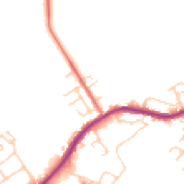
Daytime· 07:00 – 23:00
47.5dB

Night-time· 23:00 – 07:00
41.5dB