9 Hayes Row, Lowton, Warrington, WA3 1DL
About 9 Hayes Row
9 Hayes Row is a five-bedroom detached house in Lowton, Warrington, Warrington (WA3 1DL). It has a recorded floor area of 160 m² (around 1722 sq ft), construction records dating it to before 1900 and council tax band C. The latest certificate (April 2023) shows a D (score 56), a step below the typical UK home. When first surveyed in December 2009 the rating was E, the property has climbed 1 band since. Between certificates, lighting went from Average to Good. The recommended improvements would push it to C (score 79). Period features are noted in the property record.
Across 2004–2013, sale prices on this property compounded at 2.4% per year. Today's modelled estimate of £462,000 sits 98.7% above the 2013 sale of £232,500. On a £-per-square-foot basis, the last sale (£135/sq ft) was about 21.4% below the postcode norm. Last changed hands 13 years ago, in November 2013. Across the public record there are 4 sales, relatively high churn for a single property.
What this property has
Inside
- Bedrooms5
- Bathrooms2
Building
- Period featuresYes
- RefurbishedYes
Everything you need to know about 9 Hayes Row
The true value, the hidden risks and the full sale history, in one report.
Pick your report · every report is £14.99
One time fee only - money back guarantee

The data behind every report


Energy performance
9 Hayes Row's carbon output runs well above what efficient homes in the postcode produce.
EPC Rating
Property Improvements
Changes detected from historical EPC data
More low energy lighting installed
Get a survey for this property
Level 3 Building Survey
Because the property was built before 1919 and has solid (non-cavity) walls, we believe a Level 3 building survey should be considered.
From £1,020 · Includes VAT
Planning history
9 Hayes Row has no planning applications on record.
A planning report still maps activity across the surrounding area and reads this property's extension & conversion potential.
Sales history & valuation
9 Hayes Row saw 4 transfers in just over a decade — high turnover for the postcode.
£462,000
Modelled from EPC, postcode comparables and a sale-price growth of 2.4% per year over 10 years.
£232,500
Growth on file: 2.4% per year over 10 years.
Sales timeline
25 November 2013Most recent
£232,500
+1.8%over 3 years1 July 2010
£228,500
+2.7%over 1 year24 July 2008
£222,500
+20.3%over 4 years12 March 2004
£185,000
Median price across the last 5 sales in WA3 1DL: £228,000 (2025–2014).
Versus other Hayes Row homes
On price per m², 9 Hayes Row runs well behind the street norm.
Price per m²
£1,453
Street avg £2,569
Floor Area
160 m²
Street avg 146 m²
Habitable Rooms
8 rooms
Street avg 7 rooms
CO₂ Emissions
8.2 t/year
Street avg 6.1 t/year
Everything you need to know about 9 Hayes Row
The true value, the hidden risks and the full sale history, in one report.
Pick your report · every report is £14.99
One time fee only - money back guarantee
The data behind every report
Similar properties nearby
1 Headland Close, Lowton
WA3 1HH
1 Barford Drive, Lowton
WA3 1DD
1 Cotswold Gardens, Lowton
WA3 1FT
1 Heath Lane, Lowton
WA3 1JB
1 Crompton Way, Lowton
WA3 1FS
1 Glastonbury Avenue, Lowton
WA3 1ET
1 Kirkham Avenue, Lowton
WA3 1LL
1 Cotswold Avenue, Lowton
WA3 1HW
The neighbourhood at a glance
Daytime road noise here sits well below conversation level — a quiet pocket of the postcode.
Crime
1/mo
Steady year-on-year across the wider district.
Nearest stop
0.1 km
Sandy Lane — bus stop.
Closest school
0.2 km
Lowton St Mary's CofE (Voluntary Aided) Primary School. 13 schools nearby.
Go deeper on the local area
A Local Area report breaks down crime, transport links, schools and air quality in depth.
Road noise across the postcode
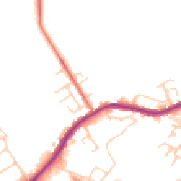
Daytime· 07:00 – 23:00
47.8dB

Night-time· 23:00 – 07:00
41.7dB