4 Newton Gardens, Lowton, Warrington, WA3 1BE
About 4 Newton Gardens
4 Newton Gardens is an end-of-terrace house in Lowton, Warrington, Warrington (WA3 1BE). It has a recorded floor area of 102 m² (around 1098 sq ft), construction records dating it to 2003-2006 and council tax band C. The latest certificate (November 2020) shows a C (score 77), near the top of the C band. The recommended improvements would push it to B (score 87).
Today's modelled estimate of £224,000 is 28% above the 2021 sale price. Most recent transfer: September 2021 at £175,000. That sale was during the post-pandemic price surge, when transactions cleared materially above pre-2020 trend.
Everything you need to know about 4 Newton Gardens
The true value, the hidden risks and the full sale history, in one report.
Pick your report · every report is £14.99
One time fee only - money back guarantee

The data behind every report


Energy performance
EPC Rating
Get a survey for this property
Level 2 HomeBuyer Report
We've checked 10 risk factors against the available data for this property and believe a Level 2 HomeBuyer Report could be a suitable option for you.
From £545 · Includes VAT
Planning history
4 Newton Gardens has no planning applications on record.
A planning report still maps activity across the surrounding area and reads this property's extension & conversion potential.
Sales history & valuation
4 Newton Gardens's sale-price growth has lagged the wider UK trajectory across its history on file.
£224,000
Modelled from EPC, postcode comparables and a sale-price growth of 0.5% per year over 12 years.
£175,000
Growth on file: 0.5% per year over 12 years.
Sales timeline
9 September 2021Most recent
£175,000
+6.1%over 12 years27 March 2009
£165,000
Median price across the last 5 sales in WA3 1BE: £180,000 (2024–2008).
Versus other Newton Gardens homes
4 Newton Gardens is notably below the street on floor area.
Price per m²
£1,716
Street avg £1,904
Floor Area
102 m²
Street avg 124 m²
Habitable Rooms
5 rooms
Street avg 5 rooms
CO₂ Emissions
2.5 t/year
Street avg 3.0 t/year
Everything you need to know about 4 Newton Gardens
The true value, the hidden risks and the full sale history, in one report.
Pick your report · every report is £14.99
One time fee only - money back guarantee
The data behind every report
Similar properties nearby
1 Carr Green, Lowton
WA3 1EQ
1 Heathmoor Avenue, Lowton
WA3 1HP
1 Bodden Street, Lowton
WA3 1DX
1 Clayhill Grove, Lowton
WA3 1FZ
1 Adwell Close, Lowton
WA3 1DE
1 Astbury Close, Lowton
WA3 1ED
1 Kay Gardens, Lowton
WA3 1AG
1 Church Lane, Lowton
WA3 1HA
The neighbourhood at a glance
Crime
1/mo
Steady year-on-year across the wider district.
Nearest stop
0.1 km
Pocket Nook Lane — bus stop.
Closest school
0.3 km
Lowton St Mary's CofE (Voluntary Aided) Primary School. 12 schools nearby.
Go deeper on the local area
A Local Area report breaks down crime, transport links, schools and air quality in depth.
Road noise across the postcode
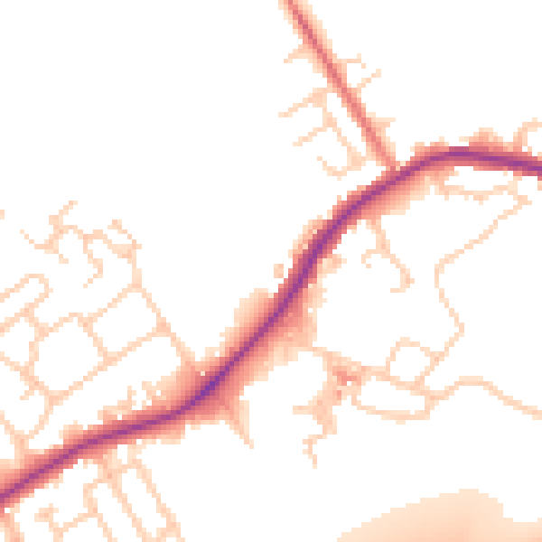
Daytime· 07:00 – 23:00
50.5dB

Night-time· 23:00 – 07:00
43.9dB