22 Moorfield Crescent, Lowton, Warrington, WA3 1AJ
About 22 Moorfield Crescent
22 Moorfield Crescent is a three-bedroom detached house in Lowton, Warrington, Warrington (WA3 1AJ). It has a recorded floor area of 97 m² (around 1044 sq ft), construction records dating it to 1950-1966 and council tax band D. The latest certificate (November 2019) shows an E (score 54), well below the UK norm with real room to improve. The recommended improvements would lift it to B (score 81), a 3-band jump. Other recorded features include notable views and a loft. Records show the property has been extended at some point in its history.
It lags the bulk of the postcode on energy efficiency (less efficient than 86% of similar EPCs). Today's modelled estimate of £430,000 is 45.8% above the 2020 sale price. On a £-per-square-foot basis, the last sale (£283/sq ft) was about 66.6% above the typical sold price in the postcode. Sold November 2020 for £295,000.
What this property has
Inside
- Bedrooms3
- Bathrooms1
- Open-plan layoutYes
- LoftYes
Outside
- Notable viewsYes
Building
- Previously extendedYes
- RefurbishedYes
Everything you need to know about 22 Moorfield Crescent
The true value, the hidden risks and the full sale history, in one report.
Pick your report · every report is £14.99
One time fee only - money back guarantee

The data behind every report


Energy performance
Recommended upgrades on file would lift this property by multiple EPC bands.
EPC Rating
Get a survey for this property
Level 2 HomeBuyer Report
We've checked 10 risk factors against the available data for this property and believe a Level 2 HomeBuyer Report could be a suitable option for you.
From £695 · Includes VAT
Planning history
22 Moorfield Crescent has no planning applications on record.
A planning report still maps activity across the surrounding area and reads this property's extension & conversion potential.
Sales history & valuation
The latest sale landed in the post-pandemic price surge — useful context when reading the figure.
£430,000
Modelled from EPC, postcode comparables.
£295,000
Recorded with HM Land Registry.
Sales timeline
27 November 2020Most recent
£295,000
Median price across the last 5 sales in WA3 1AJ: £280,000 (2024–2018).
Nearby sales in WA3 1AJ
7 Moorfield Crescent, Lowton, Warrington, WA3 1AJ
Sold Apr 2024
£395,0005 Moorfield Crescent, Lowton, Warrington, WA3 1AJ
Sold Oct 2022
£434,00014 Moorfield Crescent, Lowton, Warrington, WA3 1AJ
Sold Jan 2022
£280,0003 Moorfield Crescent, Lowton, Warrington, WA3 1AJ
Sold Jul 2020
£230,00030 Moorfield Crescent, Lowton, Warrington, WA3 1AJ
Sold Aug 2018
£230,000
Versus other Moorfield Crescent homes
On epc rating, 22 Moorfield Crescent runs well behind the street norm.
Price per m²
£3,041
Street avg £2,095
Floor Area
97 m²
Street avg 105 m²
Habitable Rooms
4 rooms
Street avg 5 rooms
CO₂ Emissions
5.3 t/year
Street avg 4.4 t/year
Everything you need to know about 22 Moorfield Crescent
The true value, the hidden risks and the full sale history, in one report.
Pick your report · every report is £14.99
One time fee only - money back guarantee
The data behind every report
Similar properties nearby
1 Crompton Way, Lowton
WA3 1FS
1 Glastonbury Avenue, Lowton
WA3 1ET
1 Kirkham Avenue, Lowton
WA3 1LL
1 Adwell Close, Lowton
WA3 1DE
1 Clayhill Grove, Lowton
WA3 1FZ
1 Cotswold Gardens, Lowton
WA3 1FT
1 Heathmoor Avenue, Lowton
WA3 1HP
1 Barford Drive, Lowton
WA3 1DD
The neighbourhood at a glance
Crime
1/mo
Steady year-on-year across the wider district.
Nearest stop
0.3 km
Pocket Nook Lane — bus stop.
Closest school
0.4 km
Lowton St Mary's CofE (Voluntary Aided) Primary School. 11 schools nearby.
Go deeper on the local area
A Local Area report breaks down crime, transport links, schools and air quality in depth.
Road noise across the postcode
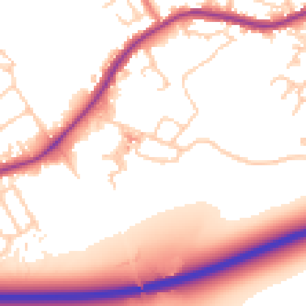
Daytime· 07:00 – 23:00
55.2dB

Night-time· 23:00 – 07:00
48.8dB