7 Luntswood Grove, Newton Le Willows, WA12 9WZ
About 7 Luntswood Grove
7 Luntswood Grove is a four-bedroom property in Newton Le Willows (WA12 9WZ). It has council tax band E.
Held since May 2003 — that's 23 years off the open market, well above the local norm. One historical planning record sits against the property in 2007.
Know exactly what you're buying at 7 Luntswood Grove
Before you offer, see what the listing won't tell you, the true value, the red flags and the full history.
Already flagged here
Valuation
against the asking price
Risks
planning & flood
Sold prices
similar homes nearby
Trends
the local market
What this property has
Inside
- Bedrooms4
- Dining roomYes
- EnsuiteYes
Outside
- GarageDouble, Detached
Energy performance
No EPC on record
This property doesn't have an Energy Performance Certificate yet. An EPC is required to sell or let — and unlocks our automated valuation.
Planning history
- Feb 2007ApplicationIn report
Erection of fence to stop lorries and cars coming into the Grove and going over the grass.
- Reference
- PRE/2007/0205
We flagged 1 thing worth checking at 7 Luntswood Grove
Independent checks surfaced things a buyer would want to understand before offering. The report explains each one in full, with the underlying data and what to ask.
- Signs of HMO activity in the area
30-day money-back guarantee
Sales history & valuation
£199,995
Recorded with HM Land Registry.
Sales timeline
14 May 2003Most recent
£199,995
Median price across the last 5 sales in WA12 9WZ: £310,000 (2023–2017).
Nearby sales in WA12 9WZ
19 Luntswood Grove, Newton Le Willows, WA12 9WZ
Sold Feb 2023
£415,0009 Luntswood Grove, Newton Le Willows, WA12 9WZ
Sold Nov 2022
£308,00037 Luntswood Grove, Newton Le Willows, WA12 9WZ
Sold Mar 2022
£385,00027 Luntswood Grove, Newton Le Willows, WA12 9WZ
Sold Sept 2021
£310,0008 Luntswood Grove, Newton Le Willows, WA12 9WZ
Sold Jun 2017
£228,000
Everything we know about 7 Luntswood Grove, in one report
What it's really worth, what could be wrong, and the planning, sales and area data in full.
What we flagged
- Signs of HMO activity in the area

Similar properties nearby
The neighbourhood at a glance
Crime
6/mo
Steady year-on-year across the wider district.
Nearest stop
0.0 km
Vista Way — bus stop.
Closest school
0.5 km
The District CofE Primary School. 16 schools nearby.
Go deeper on the local area
The full report breaks down crime, transport links, schools and air quality in depth.
Road noise across the postcode
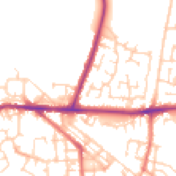
Daytime· 07:00 – 23:00
51.6dB

Night-time· 23:00 – 07:00
42.7dB