6 Luntswood Grove, Newton Le Willows, WA12 9WZ
About 6 Luntswood Grove
6 Luntswood Grove is a four-bedroom detached house in Newton Le Willows (WA12 9WZ). It has a recorded floor area of 164 m² (around 1768 sq ft), construction records dating it to 2003-2006 and council tax band E. The latest certificate (September 2010) shows a D (score 65), on the cusp of jumping into the C band. The rating has held steady at D across 2 certificates since September 2009. Between certificates, lighting went from Poor to Good; while roof efficiency dropped from Good to Average. The recommended improvements would push it to C (score 71). The latest certificate is from September 2010, so improvements made since then won't be reflected. Other recorded features include a conservatory and attached land beyond the plot. Records show the property has been extended at some point in its history.
At 164 m² the property is well over the postcode median (123 m² across 13 EPCs), placing it in the larger end of the local stock. It lags the bulk of the postcode on energy efficiency (less efficient than 85% of similar EPCs). Across 2002–2015, sale prices on this property compounded at 2.9% per year. Today's modelled estimate of £430,000 sits 62.3% above the 2015 sale of £265,000. One planning record on file: an extension approved in 2003. Past consents include an extension and a conservatory, meaningful when judging how the property has evolved. 11 years since the last transfer (September 2015).
Know exactly what you're buying at 6 Luntswood Grove
Before you offer, see what the listing won't tell you, the true value, the red flags and the full history.
Already flagged here
Valuation
against the asking price
Risks
planning & flood
Sold prices
similar homes nearby
Trends
the local market
What this property has
Inside
- Bedrooms4
- Bathrooms4
- Dining roomYes
- EnsuiteYes
- ConservatoryYes
Outside
- GarageDouble, Detached
- LandYes
Building
- Previously extendedYes
- RefurbishedYes
Energy performance
6 Luntswood Grove's carbon output runs well above what efficient homes in the postcode produce.
EPC Expired
This certificate is over 10 years old and is no longer valid.Expired 16 Sept 2020
EPC Rating
Property Improvements
Changes detected from historical EPC data
Heating controls changed
Floor insulation added or improved
More low energy lighting installed
Planning history
- Jun 2003ConservatoryFullIn report
Extension: Single storey · Rear of property
Single storey rear extension to form utility room and rear conservatory
Extension- Reference
- P/2003/0620
We flagged 1 thing worth checking at 6 Luntswood Grove
Independent checks surfaced things a buyer would want to understand before offering. The report explains each one in full, with the underlying data and what to ask.
- Signs of HMO activity in the area
30-day money-back guarantee
Sales history & valuation
6 Luntswood Grove valuation sits well clear of the typical sold price in this postcode.
£430,000
Modelled from EPC, postcode comparables and a sale-price growth of 2.9% per year over 13 years.
£265,000
Growth on file: 2.9% per year over 13 years.
Sales timeline
10 September 2015Most recent
£265,000
+8.2%over 5 years23 September 2009
£245,000
+32.4%over 6 years20 December 2002
£184,995
Median price across the last 5 sales in WA12 9WZ: £310,000 (2023–2017).
Nearby sales in WA12 9WZ
19 Luntswood Grove, Newton Le Willows, WA12 9WZ
Sold Feb 2023
£415,0009 Luntswood Grove, Newton Le Willows, WA12 9WZ
Sold Nov 2022
£308,00037 Luntswood Grove, Newton Le Willows, WA12 9WZ
Sold Mar 2022
£385,00027 Luntswood Grove, Newton Le Willows, WA12 9WZ
Sold Sept 2021
£310,0008 Luntswood Grove, Newton Le Willows, WA12 9WZ
Sold Jun 2017
£228,000
Everything we know about 6 Luntswood Grove, in one report
What it's really worth, what could be wrong, and the planning, sales and area data in full.
What we flagged
- Signs of HMO activity in the area

Versus other Luntswood Grove homes
On epc rating, 6 Luntswood Grove runs well behind the street norm.
Price per m²
£1,613
Street avg £2,110
Floor Area
164 m²
Street avg 122 m²
Habitable Rooms
8 rooms
Street avg 7 rooms
CO₂ Emissions
6.4 t/year
Street avg 3.6 t/year
Similar properties nearby
The neighbourhood at a glance
Crime
6/mo
Steady year-on-year across the wider district.
Nearest stop
0.0 km
Vista Way — bus stop.
Closest school
0.5 km
The District CofE Primary School. 16 schools nearby.
Go deeper on the local area
The full report breaks down crime, transport links, schools and air quality in depth.
Road noise across the postcode
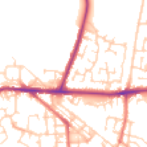
Daytime· 07:00 – 23:00
51.6dB

Night-time· 23:00 – 07:00
42.7dB