18 Kenilworth Drive, Padgate, Warrington, WA1 3JT
About 18 Kenilworth Drive
18 Kenilworth Drive is a three-bedroom property in Padgate, Warrington, Warrington (WA1 3JT). It has council tax band C.
Held since April 1999 — that's 27 years off the open market, well above the local norm. Only one transfer is on record with HM Land Registry, suggesting it has stayed in the same hands for a long time.
What this property has
Inside
- Bedrooms3
Everything you need to know about 18 Kenilworth Drive
The true value, the hidden risks and the full sale history, in one report.
30-day money-back guarantee

The data behind every report


Energy performance
No EPC on record
This property doesn't have an Energy Performance Certificate yet. An EPC is required to sell or let — and unlocks our automated valuation.
Planning history
18 Kenilworth Drive has no planning applications on record.
Notable planning nearby
3applications of note in the surrounding area
We flagged 1 thing worth checking at 18 Kenilworth Drive
Independent checks surfaced things a buyer would want to understand before offering. The report explains each one in full, with the underlying data and what to ask.
- Larger development activity nearby
30-day money-back guarantee
Sales history & valuation
18 Kenilworth Drive has been held in the same hands since before 2000.
£73,500
Recorded with HM Land Registry.
Sales timeline
22 April 1999Most recent
£73,500
Median price across the last 5 sales in WA1 3JT: £255,000 (2025–2023).
Nearby sales in WA1 3JT
23 Kenilworth Drive, Padgate, Warrington, WA1 3JT
Sold Oct 2025
£276,00026 Kenilworth Drive, Padgate, Warrington, WA1 3JT
Sold Jun 2025
£255,00025 Kenilworth Drive, Padgate, Warrington, WA1 3JT
Sold Mar 2025
£343,00014 Kenilworth Drive, Padgate, Warrington, WA1 3JT
Sold Jul 2023
£240,0004 Kenilworth Drive, Padgate, Warrington, WA1 3JT
Sold Mar 2023
£216,000
Everything you need to know about 18 Kenilworth Drive
The true value, the hidden risks and the full sale history, in one report.
30-day money-back guarantee
The data behind every report
Similar properties nearby
1 Aspen Grove, Paddington
WA1 3ET
1 Belgrave Avenue, Padgate
WA1 3JN
1 Bennett Avenue
WA1 3PQ
1 Bennett Court, Bennett Avenue
WA1 3PH
1 Beresford Street
WA1 3SA
1 Bibby Avenue
WA1 3RH
1 Birch Grove, Paddington
WA1 3JG
1 Bridlemere Court, Padgate
WA1 3DY
The neighbourhood at a glance
Rail-style transport is unusually close for this postcode.
Crime
3/mo
Steady year-on-year across the wider district.
Nearest stop
0.1 km
Methodist Church — bus stop.
Closest school
0.4 km
St Oswald's Catholic Primary School. 32 schools nearby.
Go deeper on the local area
The full report breaks down crime, transport links, schools and air quality in depth.
Road noise across the postcode
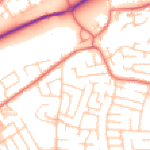
Daytime· 07:00 – 23:00
53.5dB

Night-time· 23:00 – 07:00
42.9dB