2 Fir Grove, Paddington, Warrington, WA1 3JF
About 2 Fir Grove
2 Fir Grove is a property in Paddington, Warrington, Warrington (WA1 3JF). It has council tax band C.
One planning record on file: a garage conversion approved in 2018. Past consents include a garage conversion and an annexe, meaningful when judging how the property has evolved. Last changed hands 8 years ago, in December 2017.
Everything you need to know about 2 Fir Grove
The true value, the hidden risks and the full sale history, in one report.
30-day money-back guarantee

The data behind every report


Energy performance
No EPC on record
This property doesn't have an Energy Performance Certificate yet. An EPC is required to sell or let — and unlocks our automated valuation.
Planning history
- Aug 2018Garage ConversionFullIn report
Change of Use - Conversion of a detached garage into a residential annex
Annex- Documents
- 10 docs on file
- Reference
- 2018/32021
We flagged 1 thing worth checking at 2 Fir Grove
Independent checks surfaced things a buyer would want to understand before offering. The report explains each one in full, with the underlying data and what to ask.
- Larger development activity nearby
30-day money-back guarantee
Sales history & valuation
£140,000
Recorded with HM Land Registry.
Sales timeline
20 December 2017Most recent
£140,000
Median price across the last 5 sales in WA1 3JF: £225,000 (2025–2020).
Nearby sales in WA1 3JF
1 Fir Grove, Paddington, Warrington, WA1 3JF
Sold Jun 2025
£280,0007 Fir Grove, Paddington, Warrington, WA1 3JF
Sold Nov 2024
£225,00017 Fir Grove, Paddington, Warrington, WA1 3JF
Sold Oct 2022
£358,00011 Fir Grove, Paddington, Warrington, WA1 3JF
Sold Apr 2021
£210,0004 Fir Grove, Paddington, Warrington, WA1 3JF
Sold Jul 2019
£185,000
Everything you need to know about 2 Fir Grove
The true value, the hidden risks and the full sale history, in one report.
30-day money-back guarantee
The data behind every report
Similar properties nearby
1 Birchdale Road, Paddington
WA1 3ER
1 Bibby Avenue
WA1 3RH
1 Aspen Grove, Paddington
WA1 3ET
1 Bennett Court, Bennett Avenue
WA1 3PH
1 Alexandra Street
WA1 3SE
1 Birch Grove, Paddington
WA1 3JG
1 Bennett Avenue
WA1 3PQ
1 Bowdon Close, Padgate
WA1 3JW
The neighbourhood at a glance
Rail-style transport is unusually close for this postcode.
Crime
3/mo
Steady year-on-year across the wider district.
Nearest stop
0.2 km
Greenway — bus stop.
Closest school
0.5 km
St Oswald's Catholic Primary School. 35 schools nearby.
Go deeper on the local area
The full report breaks down crime, transport links, schools and air quality in depth.
Road noise across the postcode
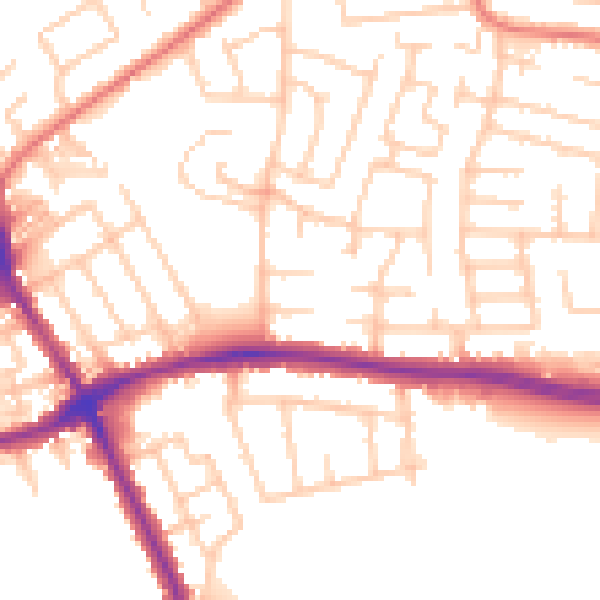
Daytime· 07:00 – 23:00
52.8dB

Night-time· 23:00 – 07:00
42.4dB